
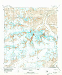
1951 Map of Healy C-1
USGS Topo · Published 1961About this map
Mt Deborah and Hess Mountain dominate this mid-century topographic survey, marking the high points of a landscape defined by massive ice flows and high-altitude terrain. The map detail highlights the intricate glacial systems of the Alaska Range before modern climatic shifts, showing the expansive Gillam Glacier and Yanert Glacier as they carve through the mountain passes.
Find a feature on this map
7 named features on this map. Tap any name to fly to it.
Don’t see what you’re looking for? This feature index may not catch every label — zoom into the map to look around manually.
Map Details
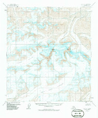
Editions of this 1951 Healy C-1 Map
3 editions found
Other maps of this area

1949 · Healy B-2
USGS Topo · 1:63,360

1949 · Healy D-1
USGS Topo · 1:63,360

1950 · Mount Hayes
USGS Topo · 1:250,000

1950 · Mount Hayes D-6
USGS Topo · 1:63,360

1950 · Healy B-1
USGS Topo · 1:63,360

1951 · Healy
USGS Topo · 1:250,000

1951 · Mount Hayes
USGS Topo · 1:250,000

1951 · Mount Hayes B-6
USGS Topo · 1:63,360

1951 · Healy C-2
USGS Topo · 1:63,360

1951 · Mount Hayes C-6
USGS Topo · 1:63,360