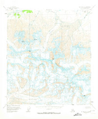
1951 Map of Mount Hayes C-6
USGS Topo · Published 1974About this map
Mount Hayes anchors this high-elevation landscape within the Alaska Range, where ice and geology dominate the topographic character. The extensive Hayes Glacier and Susitna Glacier are central to the drainage patterns of the region, punctuated by numerous crevasses and ridges. Named peaks such as Mount Giddings, Mount Skarland, Mount Geist, and Aurora Peak define the high terrain.
Find a feature on this map
12 named features on this map. Tap any name to fly to it.
Don’t see what you’re looking for? This feature index may not catch every label — zoom into the map to look around manually.
Map Details
Editions of this 1951 Mount Hayes C-6 Map
3 editions found

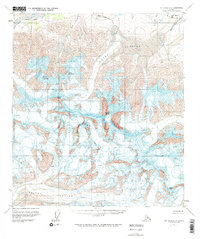
Other maps of this area

1949 · Healy D-1
USGS Topo · 1:63,360

1950 · Mount Hayes
USGS Topo · 1:250,000

1950 · Mount Hayes D-6
USGS Topo · 1:63,360

1950 · Healy B-1
USGS Topo · 1:63,360

1950 · Mount Hayes D-5
USGS Topo · 1:63,360

1951 · Healy
USGS Topo · 1:250,000

1951 · Mount Hayes
USGS Topo · 1:250,000

1951 · Mount Hayes B-6
USGS Topo · 1:63,360

1951 · Healy C-1
USGS Topo · 1:63,360

1951 · Mount Hayes C-5
USGS Topo · 1:63,360