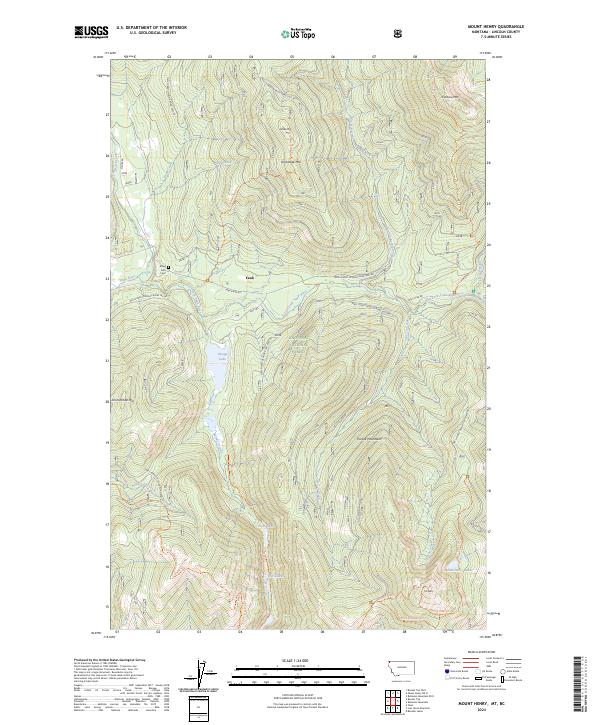
2024 Map of Mount Henry
USGS Topo · Published 2024About this map
Yaak serves as the central hub of this remote northwestern Montana landscape, where the Yaak River and its numerous tributaries like Wood Creek and Dog Creek carve through the heavily forested Purcell Mountains. Located within the Kootenai National Forest, the region is characterized by a dense network of forest development roads and primitive trails, including the Pacific Northwest National Scenic Trail and the Vinal Creek Trail. For those tracing local heritage, the Boyd Mill Cemetery sits near the river's bend, offering a quiet link to the early families who settled this timber and mountain country. High-elevation points like Grubstake Mtn, Caribou Mtn, and Mt Henry provide a vertical contrast to the valley floors where Okaga Lake and the Fish Lakes collect the runoff of the high Purcell Summit.
Find a feature on this map
39 named features on this map. Tap any name to fly to it.
Don’t see what you’re looking for? This feature index may not catch every label — zoom into the map to look around manually.
Map Details
Editions of this 2024 Mount Henry Map
This is the sole edition of this map. No revisions or reprints were ever made.
Other maps of this area

1957 · Kalispell
USGS Topo · 1:250,000

1960 · Kalispell
USGS Topo · 1:250,000

1961 · Kalispell
USGS Topo · 1:250,000

1963 · Yaak
USGS Topo · 1:24,000

1963 · Robinson Mountain
USGS Topo · 1:24,000

1963 · Boulder Lakes
USGS Topo · 1:24,000

1963 · Bonnet Top
USGS Topo · 1:24,000

1963 · Mount Henry
USGS Topo · 1:24,000

1963 · Lost Horse Mountain
USGS Topo · 1:24,000

1979 · Yaak River
USGS Topo · 1:100,000