
1963 Map of Mount Henry
USGS Topo · Published 1966About this map
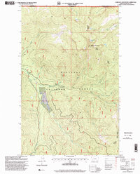
The Canada United States border defines the northern edge of this rugged Montana landscape, where the Kootenai National Forest meets the British Columbia line. This early 1960s survey documents a high-altitude wilderness centered on the drainage of the Yaak River and its East Fork. Human presence is marked by a network of pack trails and isolated landmarks, most notably the Mount Henry Lookout Tower perched near the Mt Henry Lakes and the isolated Boyd Mill Cem near Wood Creek.
Find a feature on this map
23 named features on this map. Tap any name to fly to it.
Don’t see what you’re looking for? This feature index may not catch every label — zoom into the map to look around manually.
Map Details
Editions of this 1963 Mount Henry Map
This is the sole edition of this map. No revisions or reprints were ever made.
Other maps of this area

1957 · Kalispell
USGS Topo · 1:250,000

1960 · Kalispell
USGS Topo · 1:250,000

1961 · Kalispell
USGS Topo · 1:250,000

1963 · Yaak
USGS Topo · 1:24,000

1963 · Robinson Mountain
USGS Topo · 1:24,000

1963 · Boulder Lakes
USGS Topo · 1:24,000

1963 · Bonnet Top
USGS Topo · 1:24,000

1963 · Lost Horse Mountain
USGS Topo · 1:24,000

1979 · Yaak River
USGS Topo · 1:100,000
1997 · Robinson Mountain
USGS Topo · 1:24,000