
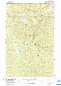
1963 Map of Robinson Mountain
USGS Topo · Published 1966About this map
Kootenai National Forest dominates this northern Montana landscape, where high-altitude ridges and deep drainages define the northwestern corner of Lincoln Co. The summit of Robinson Mountain serves as a primary geographic anchor, topped by the Robinson Mountain Lookout. The area's water network is particularly dense, with several high-country lakes such as Gold Lake, Lake Geneva, and Plumb Bob Lake feeding into complex creek systems. These drainages, including Caribou Creek and Hubbard Creek, eventually contribute to the Yaak River and its East Fork Yaak River. The infrastructure is limited to a network of Pack Trails, illustrating a period of forest management focused on fire observation and remote wilderness access before the expansion of modern road systems.
Find a feature on this map
23 named features on this map. Tap any name to fly to it.
Don’t see what you’re looking for? This feature index may not catch every label — zoom into the map to look around manually.
Map Details
Editions of this 1963 Robinson Mountain Map
2 editions found
Other maps of this area

1957 · Kalispell
USGS Topo · 1:250,000

1960 · Kalispell
USGS Topo · 1:250,000

1961 · Kalispell
USGS Topo · 1:250,000

1963 · Red Mountain
USGS Topo · 1:24,000

1963 · Webb Mountain
USGS Topo · 1:24,000

1963 · Boulder Lakes
USGS Topo · 1:24,000

1963 · Mount Henry
USGS Topo · 1:24,000

1963 · Lost Horse Mountain
USGS Topo · 1:24,000

1979 · Yaak River
USGS Topo · 1:100,000
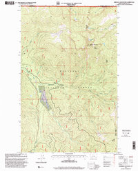
1997 · Robinson Mountain
USGS Topo · 1:24,000