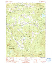
1986 Map of Mount Holly
USGS Topo · Published 1991About this map
Mount Holly and its surrounding hamlets are captured here in the mid-1980s, revealing a landscape defined by the high elevations of the Green Mountains and the winding headwaters of the Mill River. Small, clustered settlements such as Belmont, Healdville, and Hortonville are connected by a network of backroads and the rail corridor passing through Summit. The area's character is shaped by a mix of forestry and local industry, with several Gravel Pits and a Sand Pit scattered near the village centers.
Find a feature on this map
40 named features on this map. Tap any name to fly to it.
Don’t see what you’re looking for? This feature index may not catch every label — zoom into the map to look around manually.
Map Details
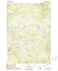
Editions of this 1986 Mount Holly Map
2 editions found
Other maps of this area

1891 · Rutland
USGS Topo · 1:62,500

1893 · Wallingford
USGS Topo · 1:62,500

1893 · Rutland
USGS Topo · 1:62,500

1911 · Woodstock
USGS Topo · 1:62,500

1913 · Woodstock
USGS Topo · 1:62,500

1928 · Ludlow
USGS Topo · 1:48,000

1929 · Ludlow
USGS Topo · 1:62,500

1932 · Ludlow
USGS Topo · 1:62,500

1943 · Woodstock
USGS Topo · 1:62,500

1950 · Glens Falls
USGS Topo · 1:250,000