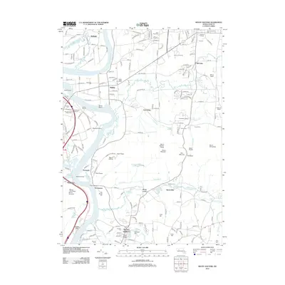
2012 Map of Mount Holyoke
USGS Topo · Published 2012About this map
Mount Holyoke Range anchors this portion of the Pioneer Valley, where the Connecticut River creates a dramatic landscape of fertile flats and steep basalt ridges. The settlement pattern reflects the area's long-standing academic and agricultural identity, evidenced by the proximity of Amherst College, Hampshire College, and Mount Holyoke College. The river's influence is seen in features like Shepherd Island and the expansive Hockanum Flat, while the higher ground of the range includes geological and cultural landmarks such as Titans Piazza and The Notch. This modern survey traces the evolution of colonial-era towns like Hadley and Hatfield into the 21st century, showing how historic cemeteries like Evergreen Cem and Old Hadley Cem remain as physical links to the past amidst 20th-century developments like the LaFleur Airport and the Hampshire County Fairgrounds.
Find a feature on this map
199 named features on this map. Tap any name to fly to it.
Don’t see what you’re looking for? This feature index may not catch every label — zoom into the map to look around manually.
Map Details
Editions of this 2012 Mount Holyoke Map
This is the sole edition of this map. No revisions or reprints were ever made.
Other maps of this area

1885 · Northampton
USGS Topo · 1:62,500

1886 · Springfield
USGS Topo · 1:62,500

1886 · Northampton
USGS Topo · 1:62,500

1887 · Palmer
USGS Topo · 1:62,500

1887 · Belchertown
USGS Topo · 1:62,500

1889 · Springfield
USGS Topo · 1:62,500

1889 · Palmer
USGS Topo · 1:62,500

1890 · Belchertown
USGS Topo · 1:62,500

1891 · Northampton
USGS Topo · 1:62,500

1893 · Northampton
USGS Topo · 1:62,500