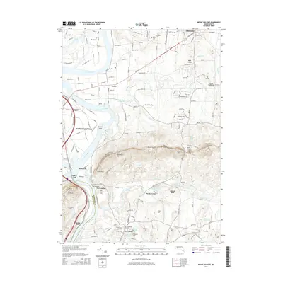
2015 Map of Mount Holyoke
USGS Topo · Published 2015About this map
The Connecticut River defines the western landscape of this mid-2010s survey, winding past Shepherd Island and the riverside settlement of Hockanum. To the east, the Mount Holyoke Range rises sharply, featuring prominent peaks like Bare Mtn and Mt Norwottock, while the distinctive Taylor Notch and The Notch provide natural passage through the ridgeline. This area is a significant academic hub, anchored by Amherst, South Hadley, and Northampton, with the campuses of Amherst Coll, Hampshire Coll, and Mt Holyoke Coll clearly marked.
Find a feature on this map
136 named features on this map. Tap any name to fly to it.
Don’t see what you’re looking for? This feature index may not catch every label — zoom into the map to look around manually.
Map Details
Editions of this 2015 Mount Holyoke Map
This is the sole edition of this map. No revisions or reprints were ever made.
Other maps of this area

1885 · Northampton
USGS Topo · 1:62,500

1886 · Springfield
USGS Topo · 1:62,500

1886 · Northampton
USGS Topo · 1:62,500

1887 · Palmer
USGS Topo · 1:62,500

1887 · Belchertown
USGS Topo · 1:62,500

1889 · Springfield
USGS Topo · 1:62,500

1889 · Palmer
USGS Topo · 1:62,500

1890 · Belchertown
USGS Topo · 1:62,500

1891 · Northampton
USGS Topo · 1:62,500

1893 · Northampton
USGS Topo · 1:62,500