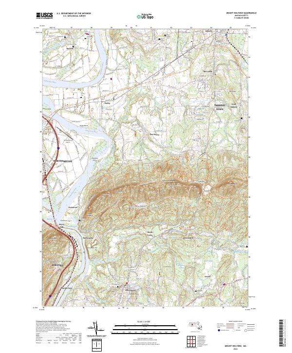
2024 Map of Mount Holyoke
USGS Topo · Published 2024About this map
Amherst College and Mount Holyoke College anchor this modern-day landscape of the Pioneer Valley, where academic institutions meet the steep ridges of the Mount Holyoke Range. The Connecticut River winds through the western half of the sheet, creating prominent landforms like Elwell Island and Shepherd Island, and forming the fertile Hockanum Flat. This contemporary view shows the extensive footprint of the Silvio O Conte National Fish and Wildlife Refuge alongside established settlements like Hadley and South Hadley. Detailed trail systems, including the New England National Scenic Tr and the Norwottuck Rail Trl, trace the summits of Mount Holyoke and Mt Norwottuck, illustrating the area's conversion of old rail corridors and mountain paths into a recreational network.
Find a feature on this map
102 named features on this map. Tap any name to fly to it.
Don’t see what you’re looking for? This feature index may not catch every label — zoom into the map to look around manually.
Map Details
Editions of this 2024 Mount Holyoke Map
This is the sole edition of this map. No revisions or reprints were ever made.
Other maps of this area

1885 · Northampton
USGS Topo · 1:62,500

1886 · Springfield
USGS Topo · 1:62,500

1886 · Northampton
USGS Topo · 1:62,500

1887 · Palmer
USGS Topo · 1:62,500

1887 · Belchertown
USGS Topo · 1:62,500

1889 · Springfield
USGS Topo · 1:62,500

1889 · Palmer
USGS Topo · 1:62,500

1890 · Belchertown
USGS Topo · 1:62,500

1891 · Northampton
USGS Topo · 1:62,500

1893 · Northampton
USGS Topo · 1:62,500