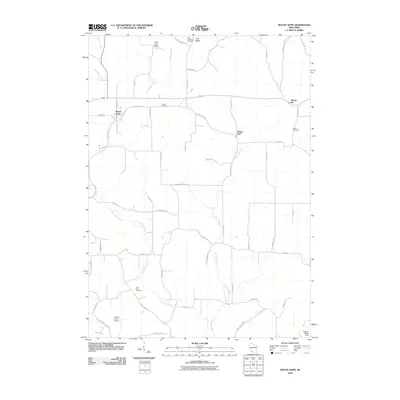
2010 Map of Mount Hope
USGS Topo · Published 2010About this map
Mount Hope and Mount Ida anchor this rural landscape in western Wisconsin, where the topography is defined by the winding course of the Little Grant River and its numerous tributaries. The area reflects a deeply rooted agricultural tradition, evident in the network of farm-to-market roads like Pleasant Valley Rd and Ridge Rd that navigate the high ground of Irish Ridge and Little Irish Ridge.
Find a feature on this map
51 named features on this map. Tap any name to fly to it.
Don’t see what you’re looking for? This feature index may not catch every label — zoom into the map to look around manually.
Map Details
Editions of this 2010 Mount Hope Map
This is the sole edition of this map. No revisions or reprints were ever made.
Other maps of this area

1900 · Lancaster
USGS Topo · 1:125,000

1904 · Lancaster
USGS Topo · 1:125,000

1908 · Lancaster
USGS Topo · 1:125,000

1926 · Wauzeka
USGS Topo · 1:62,500

1933 · Boscobel
USGS Topo · 1:62,500

1958 · La Crosse
USGS Topo · 1:250,000

1959 · Dubuque
USGS Topo · 1:250,000

1961 · Dubuque
USGS Topo · 1:250,000

1961 · La Crosse
USGS Topo · 1:250,000

1962 · Dubuque
USGS Topo · 1:250,000