Loading...
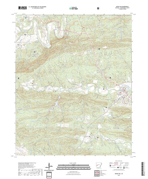
Loading map...2024 Map of Mount Ida
USGS Topo · Published 2024About this map
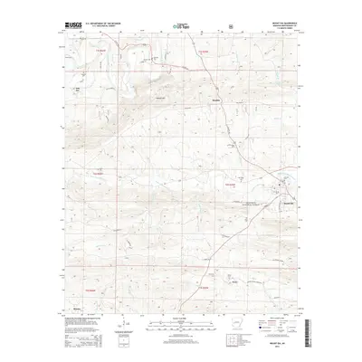
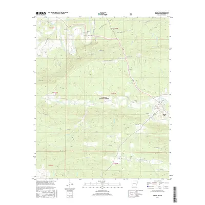
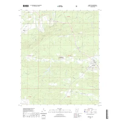
Mount Ida and the Montgomery County Courthouse serve as the focal point of this Montgomery County landscape, where the South Fork Ouachita River winds through the northern reaches of the Ouachita National Forest. The map documents a dense network of local roads and forest routes that crisscross the terrain around Mauldin Mountain, connecting the small settlement of Hog Jaw to the county seat.
Find a feature on this map
71 named features on this map. Tap any name to fly to it.
Don’t see what you’re looking for? This feature index may not catch every label — zoom into the map to look around manually.
Map Details
Date Portrayed2024
Date Published2024
PublisherU.S. Geological Survey
Map TypeTopographic
Scale1:24,000
Physical Dimensions24 x 29 inches
Editions of this 2024 Mount Ida Map
This is the sole edition of this map. No revisions or reprints were ever made.
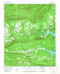
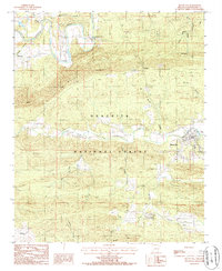
Historical Maps of Mount Ida Through Time
7 maps found
Featured Locations
Source Details
SourceU.S. Geological Survey
CopyrightPublic Domain