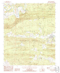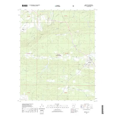
1959 Map of Mount Ida
USGS Topo · Published 1968About this map
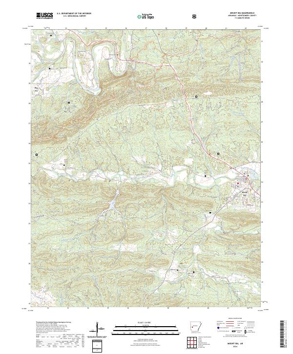
The Mount Ida area, situated within the expansive Ouachita National Forest, is defined by the winding course of the Ouachita River and the rising waters of Lake Ouachita. This late-1950s landscape shows the transition of the river valley into a major reservoir, with Buddy's Landing marking the emerging recreational shoreline. The map reveals a deeply rooted rural geography, preserved through numerous family and community landmarks such as Whittington Cemetery, Stanley Cemetery, and Sweethome Church. Small settlements like Pencil Bluff, Sims, and Whitetown are connected by a network of mountain roads, while the ridges are punctuated by vantage points including the Muddy Mountain Lookout Tower and Vanderslice Lookout Tower. From the peaks of Chalybeate Mountain to the creek forks at Hog Jaw, the survey captures the intersection of timberland management and long-standing Ozark-Ouachita foothill communities.
Find a feature on this map
124 named features on this map. Tap any name to fly to it.
Don’t see what you’re looking for? This feature index may not catch every label — zoom into the map to look around manually.
Map Details
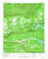
Editions of this 1959 Mount Ida Map
2 editions found
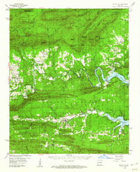
Historical Maps of Mount Ida Through Time
7 maps found