
1909 Map of Mount Jackson
USGS Topo · Published 1955About this map
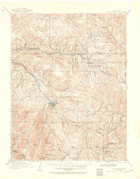
Aspen serves as the hub of this early 20th-century landscape, a period when silver mining and mountain transit shaped the development of Pitkin County. The high-altitude terrain is defined by the Colorado Midland Railway following the Fryingpan River through the northern corridor, while the Denver and Rio Grande Railroad reaches into the heart of the mining districts. Small rail stops and mining camps like Sallan, Nast, and Ruedi appear alongside larger operations such as the Little Annie Mine and Montezuma Mine. Beyond the industrial activity, the map identifies local landmarks like the Taylor School and the remote settlement of Ashcroft, providing a record of the community's footprint before the later 20th-century shift toward recreation and tourism. The intricate topography reveals the challenging routes over Independence Pass and the steep elevation of the Williams Mountains.
Find a feature on this map
139 named features on this map. Tap any name to fly to it.
Don’t see what you’re looking for? This feature index may not catch every label — zoom into the map to look around manually.
Map Details
Editions of this 1909 Mount Jackson Map
2 editions found
Other maps of this area

1888 · Crested Butte
USGS Topo · 1:62,500

1888 · Anthracite
USGS Topo · 1:62,500

1889 · Crested Butte
USGS Topo · 1:62,500

1889 · Anthracite
USGS Topo · 1:62,500

1889 · Leadville
USGS Topo · 1:125,000

1891 · Leadville
USGS Topo · 1:125,000

1893 · Anthracite
USGS Topo · 1:62,500

1893 · Crested Butte
USGS Topo · 1:62,500

1893 · Aspen
USGS Topo · 1:62,500

1894 · Anthracite
USGS Topo · 1:62,500