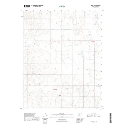
2018 Map of Mount Jesus
USGS Topo · Published 2018About this map
Mt Jesus and Mt Lookout stand as prominent landmarks in this Clark County landscape, surveyed by the U.S. Geological Survey for the 2018 edition. The terrain is defined by an extensive network of drainages, including the prominent Bluff Cr and its tributaries such as Fish Cr and Granger Cr. The map captures the systematic organization of this rural area through the Public Land Survey System grid, visible in the section lines of t31s r22w and t32s r22w. Transportation is characterized by a sparse grid of county roads, including CR 24 and CR 1, which facilitate travel between these elevated points and the creek beds below. This survey provides a precise look at the modern topography of the High Plains, where the drainage patterns of Hackberry Cr and Day Cr dictate the layout of the local infrastructure.
Find a feature on this map
18 named features on this map. Tap any name to fly to it.
Don’t see what you’re looking for? This feature index may not catch every label — zoom into the map to look around manually.
Map Details
Editions of this 2018 Mount Jesus Map
This is the sole edition of this map. No revisions or reprints were ever made.
Other maps of this area

1894 · Sitka
USGS Topo · 1:62,500

1896 · Ashland
USGS Topo · 1:125,000

1955 · Pratt
USGS Topo · 1:250,000

1959 · Pratt
USGS Topo · 1:250,000
1972 · Ashland
USGS Topo · 1:24,000

1979 · Sitka
USGS Topo · 1:24,000

1979 · Bloom SE
USGS Topo · 1:24,000

1979 · Sugarloaf
USGS Topo · 1:24,000

1979 · Turkey Creek
USGS Topo · 1:24,000
1979 · Simmons Creek
USGS Topo · 1:24,000