
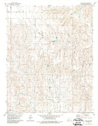
1979 Map of Bloom SE
USGS Topo · Published 1980About this map
Bluff Creek carves a distinct path through the northeastern corner of this Clark County landscape, defining the transition between the rolling uplands of Appleton and the agricultural reaches of Center townships. This 1970s survey documents a terrain dominated by drainage networks, where the headwaters of West Branch Bear Creek and East Branch Bear Creek converge to the south, and Hackberry Creek meanders through the central sections.
Find a feature on this map
11 named features on this map. Tap any name to fly to it.
Don’t see what you’re looking for? This feature index may not catch every label — zoom into the map to look around manually.
Map Details
Editions of this 1979 Bloom SE Map
2 editions found
Other maps of this area

1894 · Sitka
USGS Topo · 1:62,500

1896 · Ashland
USGS Topo · 1:125,000

1955 · Pratt
USGS Topo · 1:250,000

1959 · Pratt
USGS Topo · 1:250,000

1967 · Bloom
USGS Topo · 1:24,000

1972 · Ashland NW
USGS Topo · 1:24,000
1972 · Ashland
USGS Topo · 1:24,000

1979 · Sitka
USGS Topo · 1:24,000
1979 · Simmons Creek
USGS Topo · 1:24,000
1979 · Mount Jesus NW
USGS Topo · 1:24,000