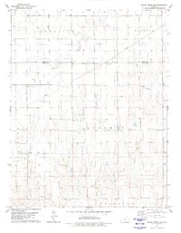
1979 Map of Mount Jesus NW
USGS Topo · Published 1980About this map
The Old Indian Treaty Boundary slices diagonally across the landscape of Clark and Ford counties, serving as a significant historical marker in this prairie region during the mid-1970s. This survey reveals a terrain defined by township divisions such as Sodville, Bucklin, and Liberty, where the land is primarily organized for agriculture and resource extraction. The drainage patterns of Rattlesnake Creek and West Kiowa Creek dictate the local topography, while scattered Wells and an extensive Pipeline indicate the importance of water management and energy infrastructure in the rural economy. In the southwestern portion, Appleton and Lexington townships are drained by smaller tributaries like Fish Creek and Cat Creek, showcasing the intricate network of seasonal waterways that supported local ranching and farming operations.
Find a feature on this map
15 named features on this map. Tap any name to fly to it.
Don’t see what you’re looking for? This feature index may not catch every label — zoom into the map to look around manually.
Map Details
Editions of this 1979 Mount Jesus NW Map
This is the sole edition of this map. No revisions or reprints were ever made.
Other maps of this area

1892 · Spearville
USGS Topo · 1:125,000

1894 · Spearville
USGS Topo · 1:125,000

1896 · Ashland
USGS Topo · 1:125,000

1955 · Pratt
USGS Topo · 1:250,000

1959 · Pratt
USGS Topo · 1:250,000

1969 · Bucklin SE
USGS Topo · 1:24,000

1969 · Bucklin
USGS Topo · 1:24,000

1969 · Kingsdown
USGS Topo · 1:24,000

1979 · Bloom SE
USGS Topo · 1:24,000

1979 · Turkey Creek
USGS Topo · 1:24,000