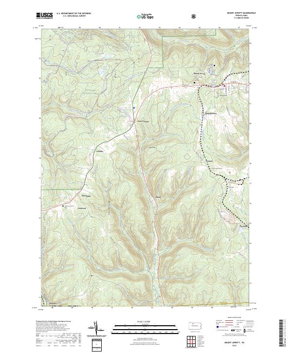
2023 Map of Mount Jewett
USGS Topo · Published 2023About this map
The Allegheny National Forest covers much of this landscape, where the plateau is dissected by the headwaters of the West Branch Clarion River and Kinzua Creek. The borough of Mount Jewett serves as the primary hub, situated near the high point of Howard Hill. Local history is anchored at the Nebo Lutheran Chapel and Cem, reflecting the area's Swedish-American heritage.
Find a feature on this map
72 named features on this map. Tap any name to fly to it.
Don’t see what you’re looking for? This feature index may not catch every label — zoom into the map to look around manually.
Map Details
Editions of this 2023 Mount Jewett Map
This is the sole edition of this map. No revisions or reprints were ever made.
Other maps of this area

1924 · Bradford
USGS Topo · 1:62,500

1926 · Bradford
USGS Topo · 1:62,500

1934 · Kane
USGS Topo · 1:48,000

1935 · Mt. Jewett
USGS Topo · 1:48,000

1936 · Kinzua
USGS Topo · 1:48,000

1939 · Kane
USGS Topo · 1:62,500

1940 · Mt. Jewett
USGS Topo · 1:62,500

1941 · Kinzua
USGS Topo · 1:62,500

1941 · Bradford
USGS Topo · 1:62,500

1944 · Bradford
USGS Topo · 1:62,500
Featured Places
- Mount Jewett, PA
- Wetmore Township, PA
- Hamlin Township, PA
- Campbelltown, Hamlin Township
- Hutchins, Sergeant Township