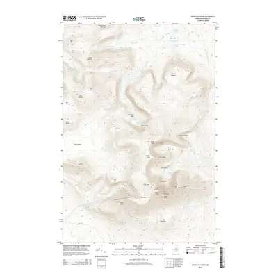
2014 Map of Mount Katahdin
USGS Topo · Published 2014About this map
Mount Katahdin dominates this Maine landscape, serving as the northern terminus for the Appalachian National Scenic Trail as it winds through Piscataquis County. The summit area is defined by the sharp Knife Edge ridge connecting Baxter Peak and Pamola, overlooking the deep amphitheater of the Great Basin. The topographic detail illustrates the drainage patterns of the Wassataquoik Stream and Abol Stream, which have carved the surrounding peaks such as North Brother and South Brother.
Find a feature on this map
61 named features on this map. Tap any name to fly to it.
Don’t see what you’re looking for? This feature index may not catch every label — zoom into the map to look around manually.
Map Details
Editions of this 2014 Mount Katahdin Map
This is the sole edition of this map. No revisions or reprints were ever made.
Other maps of this area

1927 · Katahdin
USGS Topo · 1:48,000

1930 · Katahdin
USGS Topo · 1:62,500

1949 · Katahdin
USGS Topo · 1:62,500

1953 · Telos Lake
USGS Topo · 1:62,500

1954 · Harrington Lake
USGS Topo · 1:62,500

1954 · Presque Isle
USGS Topo · 1:250,000

1954 · Millinocket
USGS Topo · 1:250,000

1955 · Traveler Mountain
USGS Topo · 1:62,500

1957 · Telos Lake
USGS Topo · 1:62,500

1958 · Presque Isle
USGS Topo · 1:250,000