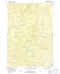
1973 Map of Mount Kineo
USGS Topo · Published 1992About this map
The White Mountain National Forest dominates this topographic study of the White Mountains, centered on the high peaks and drainage basins of the Baker River. High-altitude landmarks like Ravine Lodge and McKenney Cabin are shown in the northern reaches, while the Appalachian Tr winds along the slopes of Hurricane Mtn. The landscape is defined by its recreation and early tourism history, featuring the Golf Course at Breezy Point and several specialized paths including the Donkey Cutoff and Snapperski Tr.
Find a feature on this map
54 named features on this map. Tap any name to fly to it.
Don’t see what you’re looking for? This feature index may not catch every label — zoom into the map to look around manually.
Map Details
Editions of this 1973 Mount Kineo Map
2 editions found
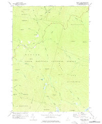
Other maps of this area

1928 · Plymouth
USGS Topo · 1:62,500

1928 · Rumney
USGS Topo · 1:62,500

1929 · Moosilauke
USGS Topo · 1:62,500

1929 · Franconia
USGS Topo · 1:62,500

1931 · Plymouth
USGS Topo · 1:62,500

1932 · Franconia
USGS Topo · 1:62,500

1932 · Rumney
USGS Topo · 1:62,500

1932 · Moosilauke
USGS Topo · 1:62,500

1949 · Portland
USGS Topo · 1:250,000

1950 · Lewiston
USGS Topo · 1:250,000