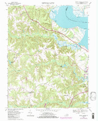
1968 Map of Mount Landing
USGS Topo · Published 1985About this map
The Rappahannock River defines the northeastern boundary of this Essex County landscape, where the tidal waters meet a network of intricate drainages like Mount Landing Creek and Hoskins Creek. In the late 1960s, the area around Tappahannock shows a mix of established riverside infrastructure and rural crossroads. The interior is characterized by numerous small settlements and family-named forks, such as Longist Forks and Henley Fork, reflecting a long-standing pattern of community nodes centered around local churches and mills. Cultural landmarks including St Johns Ch, Mt Zion Ch, and First Union Ch serve as vital anchor points for genealogists tracing ancestral footprints through these wooded uplands. Industrial and agricultural life is evidenced by several Gravel Pits and managed water bodies like Scotts Millpond, which together illustrate the historical reliance on local resource extraction and water power in the Tidewater region.
Find a feature on this map
44 named features on this map. Tap any name to fly to it.
Don’t see what you’re looking for? This feature index may not catch every label — zoom into the map to look around manually.
Map Details
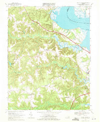
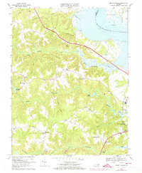
Editions of this 1968 Mount Landing Map
3 editions found
Other maps of this area

1889 · Fredericksburg
USGS Topo · 1:125,000

1892 · Fredericksburg
USGS Topo · 1:125,000

1892 · Montross
USGS Topo · 1:62,500

1894 · Fredericksburg
USGS Topo · 1:125,000

1895 · Nomini
USGS Topo · 1:125,000

1895 · Montross
USGS Topo · 1:62,500

1898 · Nomini
USGS Topo · 1:125,000

1918 · Tappahannock
USGS Topo · 1:62,500

1918 · Aylett
USGS Topo · 1:62,500

1919 · Tappahannock
USGS Topo · 1:62,500