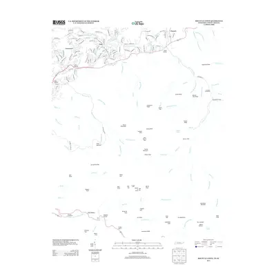
2013 Map of Mount Le Conte
USGS Topo · Published 2013About this map
Mount Le Conte dominates this topographic study of the Tennessee high country, marking a landscape of sharp ridges and deep drainage basins near the North Carolina border. The northern reaches show the residential expansion of Cartertown and Glade, where local roads like Orchard Dr and Cartertown Rd wind through the foothills. Further south, the terrain becomes increasingly steep and complex, defined by features like Rainbow Falls and the high peaks of Mount Winnesoka.
Find a feature on this map
172 named features on this map. Tap any name to fly to it.
Don’t see what you’re looking for? This feature index may not catch every label — zoom into the map to look around manually.
Map Details
Editions of this 2013 Mount Le Conte Map
This is the sole edition of this map. No revisions or reprints were ever made.
Other maps of this area

1886 · Knoxville
USGS Topo · 1:125,000

1892 · Knoxville
USGS Topo · 1:125,000

1893 · Mt Guyot
USGS Topo · 1:125,000

1894 · Knoxville
USGS Topo · 1:125,000

1895 · Knoxville
USGS Topo · 1:125,000

1901 · Knoxville
USGS Topo · 1:125,000

1912 · Mt Guyot
USGS Topo · 1:125,000

1935 · English Mountain
USGS Topo · 1:48,000

1935 · Jones Cove
USGS Topo · 1:24,000

1935 · Richardson Cove
USGS Topo · 1:24,000