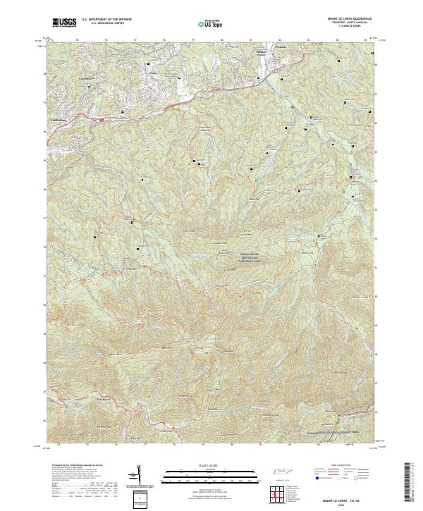
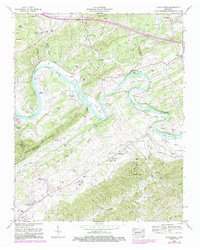
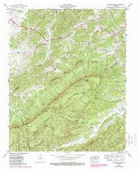
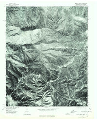
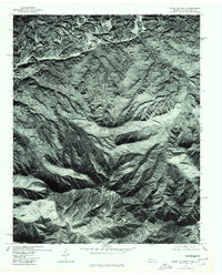
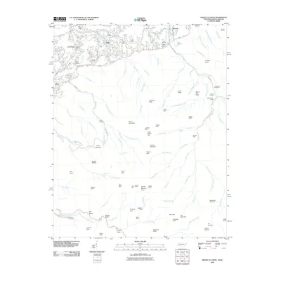
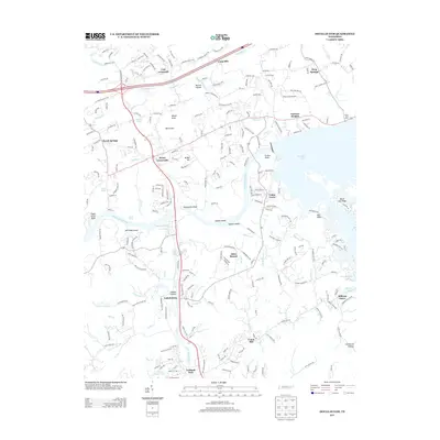
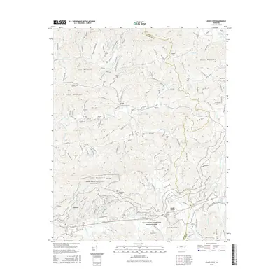
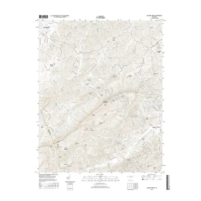
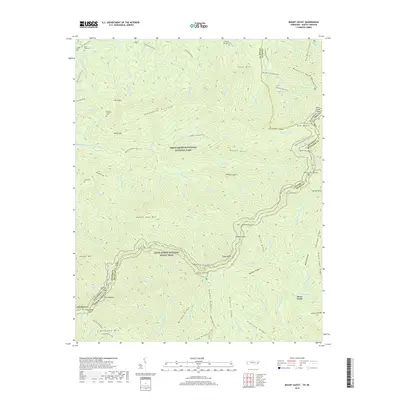
2022 Map of Mount Le Conte
USGS Topo · Published 2022About this map
Mt Le Conte dominates the southern landscape of this 2022 survey, surrounded by the high-elevation peaks and ridges of the Great Smoky Mountains National Park. The map reveals a dense network of hiking trails and historic roads, such as the Appalachian National Scenic Trail and the Roaring Fork Motor Nature Trail, which navigate the complex topography near Gatlinburg.
Find a feature on this map
207 named features on this map. Tap any name to fly to it.
Don’t see what you’re looking for? This feature index may not catch every label — zoom into the map to look around manually.
Map Details
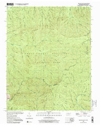
Editions of this 2022 Mount Le Conte Map
This is the sole edition of this map. No revisions or reprints were ever made.
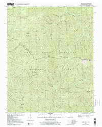
Historical Maps of Gatlinburg Through Time
56 maps found

1935 Boyds Creek
Sevier County, TN

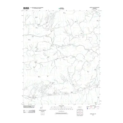
1935 English Mountain
Sevier County, TN

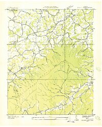
1935 Jones Cove
Sevier County, TN

1935 Kykers Ferry
Sevier County, TN

1935 Richardson Cove
Sevier County, TN
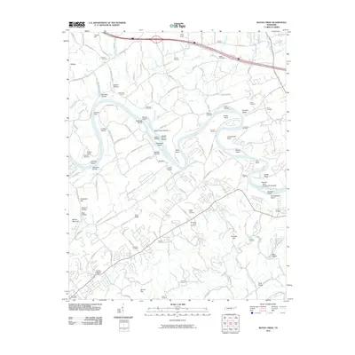
1935 Walden Creek
Sevier County, TN

1936 Cartertown
Sevier County, TN
1940 Boyds Creek
Sevier County, TN
1940 Jones Cove
Sevier County, TN
1940 Kykers Ferry
Sevier County, TN
1940 Richardson Cove
Sevier County, TN
1941 Walden Creek
Sevier County, TN
1953 Boyds Creek
Sevier County, TN
1953 Walden Creek
Sevier County, TN
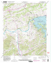
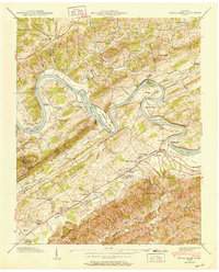
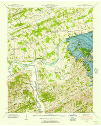
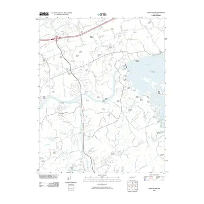
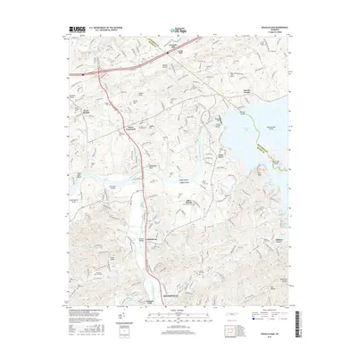
1961 Douglas Dam
Sevier County, TN
1964 Mount Guyot
Sevier County, TN
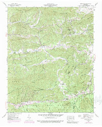
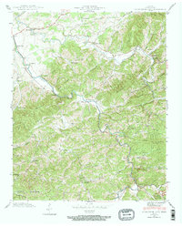
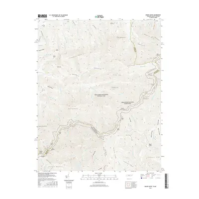
1964 Mount Le Conte
Sevier County, TN
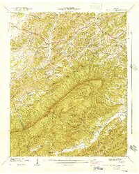
1976 Mount Guyot
Sevier County, TN
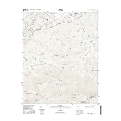
1976 Mount Le Conte
Sevier County, TN
2000 Mount Guyot
Sevier County, TN
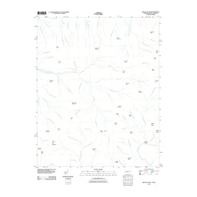
2000 Silers Bald
Sevier County, TN
2010 Boyds Creek
Sevier County, TN
2010 Douglas Dam
Sevier County, TN
2010 Jones Cove
Sevier County, TN
2010 Mount Guyot
Sevier County, TN
2010 Mount Le Conte
Sevier County, TN
2010 Richardson Cove
Sevier County, TN
2010 Walden Creek
Sevier County, TN
2013 Boyds Creek
Sevier County, TN
2013 Douglas Dam
Sevier County, TN
2013 Jones Cove
Sevier County, TN
2013 Mount Guyot
Sevier County, TN
2013 Mount Le Conte
Sevier County, TN
2013 Richardson Cove
Sevier County, TN
2013 Walden Creek
Sevier County, TN
2016 Boyds Creek
Sevier County, TN
2016 Douglas Dam
Sevier County, TN
2016 Jones Cove
Sevier County, TN
2016 Mount Guyot
Sevier County, TN
2016 Mount Le Conte
Sevier County, TN
2016 Richardson Cove
Sevier County, TN
2016 Walden Creek
Sevier County, TN
2019 Boyds Creek
Sevier County, TN
2019 Douglas Dam
Sevier County, TN
2019 Jones Cove
Sevier County, TN
2019 Mount Guyot
Sevier County, TN
2019 Mount Le Conte
Sevier County, TN
2019 Richardson Cove
Sevier County, TN
2019 Walden Creek
Sevier County, TN
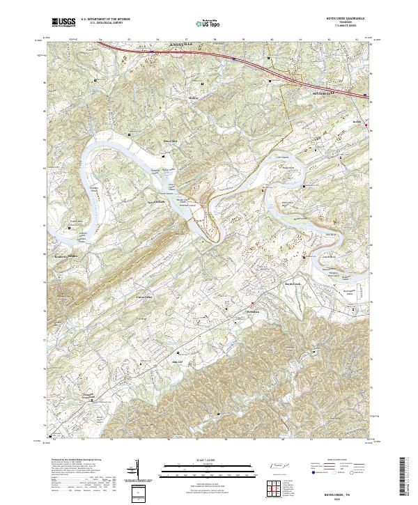
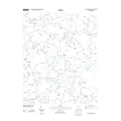
2022 Boyds Creek
Sevier County, TN
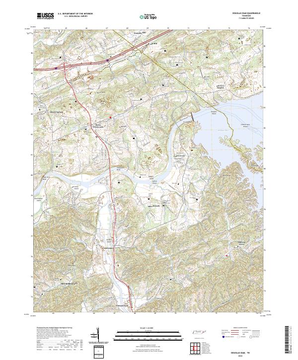
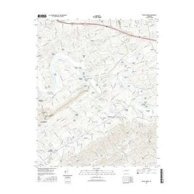
2022 Douglas Dam
Sevier County, TN
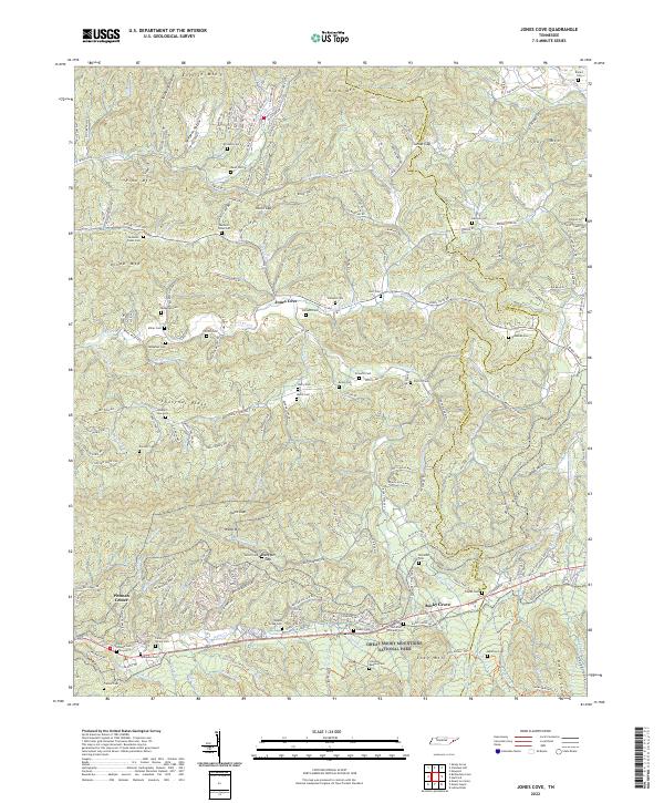
2022 Jones Cove
Sevier County, TN
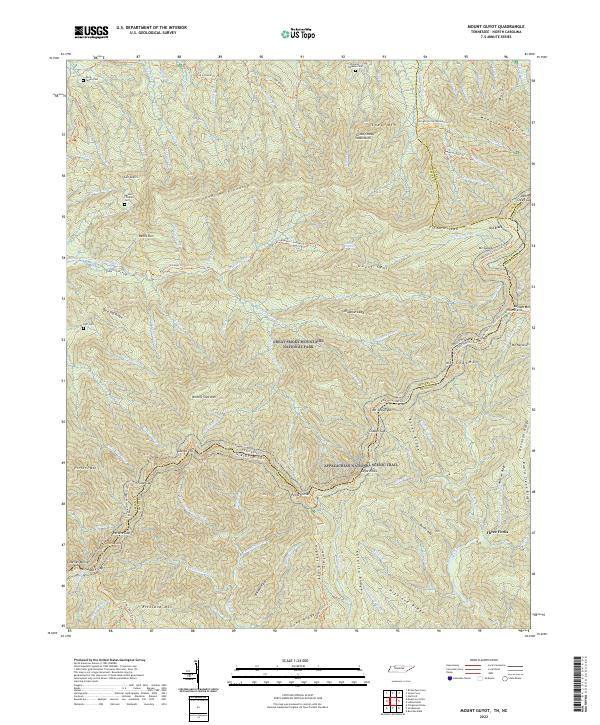
2022 Mount Guyot
Sevier County, TN
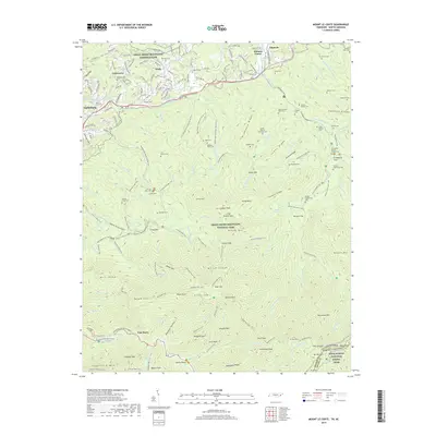
2022 Mount Le Conte
Sevier County, TN
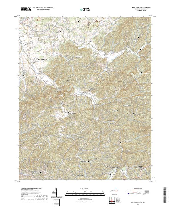
2022 Richardson Cove
Sevier County, TN
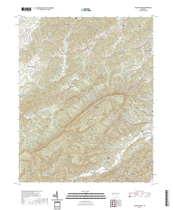
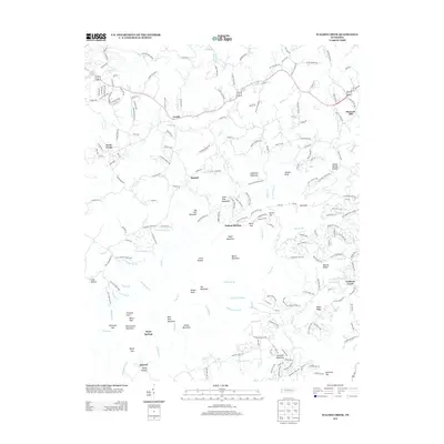
2022 Walden Creek
Sevier County, TN