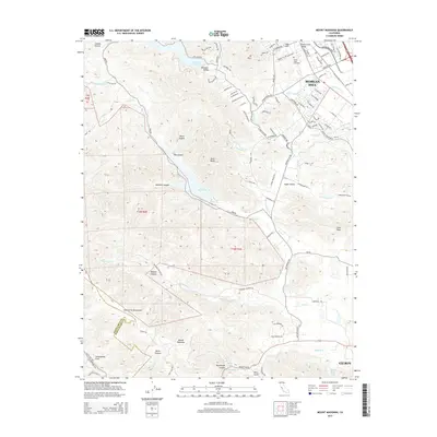
2015 Map of Mount Madonna
USGS Topo · Published 2015About this map
Morgan Hill serves as the gateway to the eastern slopes of the Santa Cruz Mountains in this modern survey. The map details the transition from the suburban edge of the Santa Clara Valley to the protected watersheds of the Chesbro Reservoir and Uvas Reservoir. This landscape is defined by its hydrology and seismic activity, with the prominent line of the San Andreas Fault cutting through the southwestern portion of the sheet. To the north, the historic Mount Hope Cemetery sits near Nob Hill, while the southern reaches rise toward the summit of Mount Madonna. The rugged interior is marked by deep cuts like Murphy Canyon and Blackhawk Canyon, illustrating how the local terrain has dictated the winding paths of roads like Little Uvas Rd. Collectors can trace the drainage of Llagas Cr and Little Arthur Cr as they flow through the agricultural pockets of Paradise Valley and Hayes Valley.
Find a feature on this map
105 named features on this map. Tap any name to fly to it.
Don’t see what you’re looking for? This feature index may not catch every label — zoom into the map to look around manually.
Map Details
Editions of this 2015 Mount Madonna Map
This is the sole edition of this map. No revisions or reprints were ever made.
Other maps of this area

1912 · Capitola
USGS Topo · 1:62,500

1914 · Capitola
USGS Topo · 1:62,500

1915 · San Juan Bautista
USGS Topo · 1:48,000

1916 · New Almaden
USGS Topo · 1:48,000

1917 · Morgan Hill
USGS Topo · 1:62,500

1917 · San Juan Bautista
USGS Topo · 1:62,500

1919 · New Almaden
USGS Topo · 1:62,500

1939 · Morgan Hill
USGS Topo · 1:62,500

1939 · San Juan Bautista
USGS Topo · 1:62,500

1940 · San Juan Bautista
USGS Topo · 1:62,500