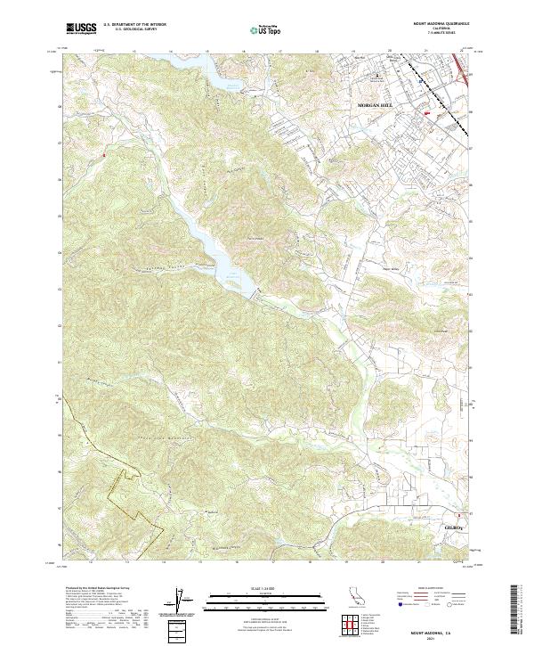
2021 Map of Mount Madonna
USGS Topo · Published 2021About this map
The Santa Clara Valley serves as a transition from the developing urban edges of Morgan Hill and Gilroy into the steep, canyon-cut slopes of the Santa Cruz Mountain range. Large water bodies including Chesbro Reservoir and Uvas Reservoir dominate the middle elevations, fed by drainages like Llagas Cr and Uvas Cr that flow toward the valley floor. The terrain is marked by prominent summits such as El Toro, Nob Hill, and Mt Madonna, where the southern end of the sheet transitions into Santa Cruz Co. Local history is visible in the network of rural roads like Redwood Retreat Rd and Watsonville Rd, which connect the valley's orchards and residences to the more secluded sites like Sprig Lake and the Mount Hope Memorial Park.
Find a feature on this map
49 named features on this map. Tap any name to fly to it.
Don’t see what you’re looking for? This feature index may not catch every label — zoom into the map to look around manually.
Map Details
Editions of this 2021 Mount Madonna Map
This is the sole edition of this map. No revisions or reprints were ever made.
Other maps of this area

1912 · Capitola
USGS Topo · 1:62,500

1914 · Capitola
USGS Topo · 1:62,500

1915 · San Juan Bautista
USGS Topo · 1:48,000

1916 · New Almaden
USGS Topo · 1:48,000

1917 · Morgan Hill
USGS Topo · 1:62,500

1917 · San Juan Bautista
USGS Topo · 1:62,500

1919 · New Almaden
USGS Topo · 1:62,500

1939 · Morgan Hill
USGS Topo · 1:62,500

1939 · San Juan Bautista
USGS Topo · 1:62,500

1940 · San Juan Bautista
USGS Topo · 1:62,500