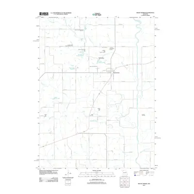
2012 Map of Mount Moriah
USGS Topo · Published 2012About this map
Mount Moriah stands as the central settlement in this portion of Harrison County, defined by its traditional grid and proximity to the Thompson River. The landscape is a network of water management and rural infrastructure, characterized by numerous watershed dams and reservoirs such as Harrison County Lake E-1 and K Camp Leazenby Lake. These features, alongside Panther Creek and Trail Creek, illustrate a mid-continent agricultural environment where water control is vital to land use. For those researching local families, the map identifies several namesake sites including G Pitts Lake, Landes-Stanley Lake, and the Stoner Cemetery. This documentation reflects a 21st-century view of Missouri's rural interior, where modern county highways like Co HWY-327 and Co HWY-323 connect long-standing homesteads and small-scale water works.
Find a feature on this map
60 named features on this map. Tap any name to fly to it.
Don’t see what you’re looking for? This feature index may not catch every label — zoom into the map to look around manually.
Map Details
Editions of this 2012 Mount Moriah Map
This is the sole edition of this map. No revisions or reprints were ever made.
Other maps of this area

1925 · Gilman
USGS Topo · 1:62,500

1946 · Gilman
USGS Topo · 1:48,000

1946 · Princeton
USGS Topo · 1:62,500

1947 · Blythedale
USGS Topo · 1:62,500

1948 · Gilman
USGS Topo · 1:62,500

1948 · Princeton
USGS Topo · 1:62,500

1948 · Trenton
USGS Topo · 1:62,500

1954 · Centerville
USGS Topo · 1:250,000

1957 · Centerville
USGS Topo · 1:250,000

1958 · Centerville
USGS Topo · 1:250,000