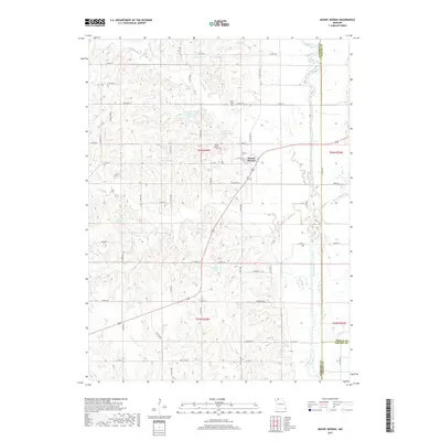
2017 Map of Mount Moriah
USGS Topo · Published 2017About this map
Mount Moriah sits at the heart of this Missouri landscape, serving as a primary settlement point near the intersection of several Harrison County rural routes. The town is flanked by a significant concentration of man-made water bodies and reservoirs, such as Harrison County Lake E-1, Hamilton Lake, and the distinctly named K Camp Leazenby Lake. These features, along with Landes-Stanley Lake, indicate a landscape modified for local water management and recreation.
Find a feature on this map
48 named features on this map. Tap any name to fly to it.
Don’t see what you’re looking for? This feature index may not catch every label — zoom into the map to look around manually.
Map Details
Editions of this 2017 Mount Moriah Map
This is the sole edition of this map. No revisions or reprints were ever made.
Other maps of this area

1925 · Gilman
USGS Topo · 1:62,500

1946 · Gilman
USGS Topo · 1:48,000

1946 · Princeton
USGS Topo · 1:62,500

1947 · Blythedale
USGS Topo · 1:62,500

1948 · Gilman
USGS Topo · 1:62,500

1948 · Princeton
USGS Topo · 1:62,500

1948 · Trenton
USGS Topo · 1:62,500

1954 · Centerville
USGS Topo · 1:250,000

1957 · Centerville
USGS Topo · 1:250,000

1958 · Centerville
USGS Topo · 1:250,000