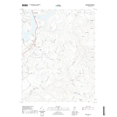
2019 Map of Mount Nebo
USGS Topo · Published 2019About this map
Summersville Lake dominates the northern reaches of this Nicholas County terrain, where the Hughes Bridge spans the water near the Summersville Airport. The landscape is a complex network of ridges and deep drainage basins, characterized by prominent elevations like Fowlers Knob and Daubenspeck Knob. These high points often serve as the focal points for small upland communities such as Mount Nebo, Snow Hill, and Bruce.
Find a feature on this map
101 named features on this map. Tap any name to fly to it.
Don’t see what you’re looking for? This feature index may not catch every label — zoom into the map to look around manually.
Map Details
Editions of this 2019 Mount Nebo Map
This is the sole edition of this map. No revisions or reprints were ever made.
Other maps of this area

1889 · Nicholas
USGS Topo · 1:125,000

1891 · Nicholas
USGS Topo · 1:125,000

1901 · Nicholas
USGS Topo · 1:125,000

1913 · Summersville
USGS Topo · 1:48,000

1914 · Winona
USGS Topo · 1:48,000

1915 · Cowen
USGS Topo · 1:48,000
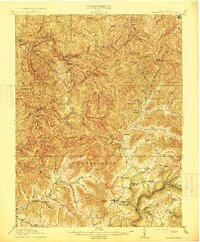
1915 · Summersville
USGS Topo · 1:62,500

1916 · Winona
USGS Topo · 1:62,500

1917 · Cowen
USGS Topo · 1:62,500

1918 · Richwood
USGS Topo · 1:62,500