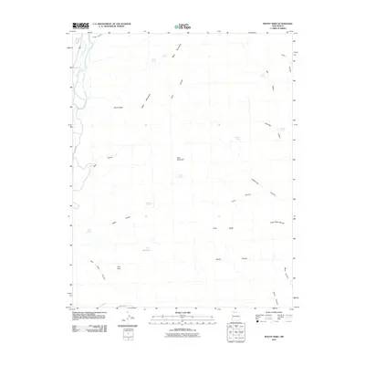
2010 Map of Mount Nebo
USGS Topo · Published 2010About this map
The Animas River corridor in northwestern New Mexico reveals a landscape defined by water management and high-desert relief in this 2010 survey. Agricultural and industrial infrastructure is visible through a complex network of irrigation channels, including the Twin Rock Ditch, Ralston Ditch, and Canyon Ditch, which redirect water from the river valley. To the east, the terrain rises into the Mesa Mountains and toward the namesake peak of Mount Nebo. The map documents numerous vital water sources scattered across the arid canyons, such as Miller Spring, Hidden Springs, and Stephel Spring, alongside the C C Reservoir. This geographic record captures the area's dependency on seasonal and managed water, tracing the deep cuts of Long Glade Canyon and Sandstone Canyon through the high mesas.
Find a feature on this map
34 named features on this map. Tap any name to fly to it.
Don’t see what you’re looking for? This feature index may not catch every label — zoom into the map to look around manually.
Map Details
Editions of this 2010 Mount Nebo Map
This is the sole edition of this map. No revisions or reprints were ever made.
Other maps of this area

1889 · Largo
USGS Topo · 1:250,000

1895 · Largo
USGS Topo · 1:250,000

1908 · Ignacio
USGS Topo · 1:125,000

1924 · Ignacio
USGS Topo · 1:125,000

1945 · Durango
USGS Topo · 1:250,000

1953 · Durango
USGS Topo · 1:250,000

1954 · Durango
USGS Topo · 1:250,000

1954 · Aztec
USGS Topo · 1:250,000

1958 · Aztec
USGS Topo · 1:250,000

1959 · Aztec
USGS Topo · 1:62,500