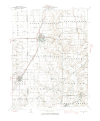
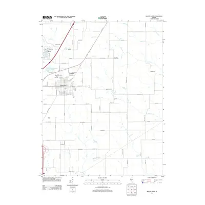
1944 Map of Mount Olive
USGS Topo · Published 1965About this map
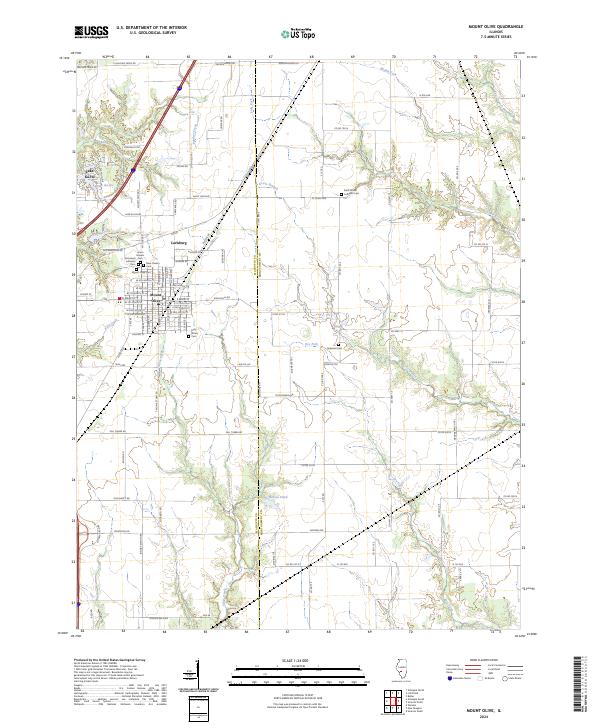
Litchfield serves as a major transportation hub in the mid-1940s, situated at the intersection of several prominent railroads. The landscape is defined by an intensive network of rail lines, including the Illinois Central, Wabash, and the Chicago and Northwestern, which supported the region's agricultural and industrial growth. To the south and east, the topography transitions from the urban grids of Mount Olive and Hillsboro to a rural expanse dotted with localized school districts.
Find a feature on this map
81 named features on this map. Tap any name to fly to it.
Don’t see what you’re looking for? This feature index may not catch every label — zoom into the map to look around manually.
Map Details
Editions of this 1944 Mount Olive Map
This is the sole edition of this map. No revisions or reprints were ever made.
Historical Maps of Litchfield Through Time
9 maps found
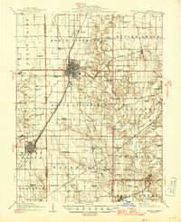
1915 Mount Olive
Macoupin County, IL
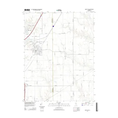
1944 Mount Olive
Macoupin County, IL
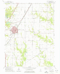
1974 Mount Olive
Macoupin County, IL
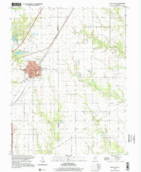
1998 Mount Olive
Macoupin County, IL
2012 Mount Olive
Macoupin County, IL
2015 Mount Olive
Macoupin County, IL
2018 Mount Olive
Macoupin County, IL
2021 Mount Olive
Macoupin County, IL
2024 Mount Olive
Macoupin County, IL