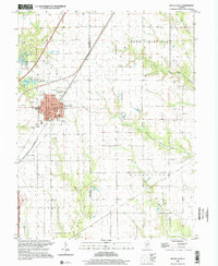
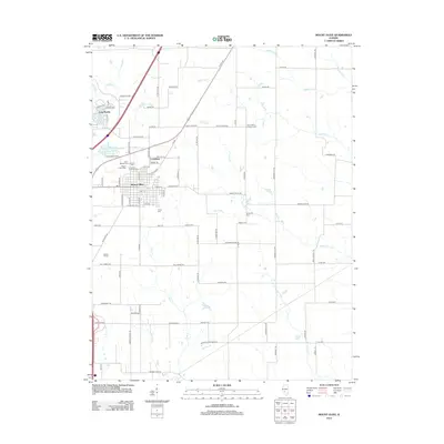
1998 Map of Mount Olive
USGS Topo · Published 2002About this map
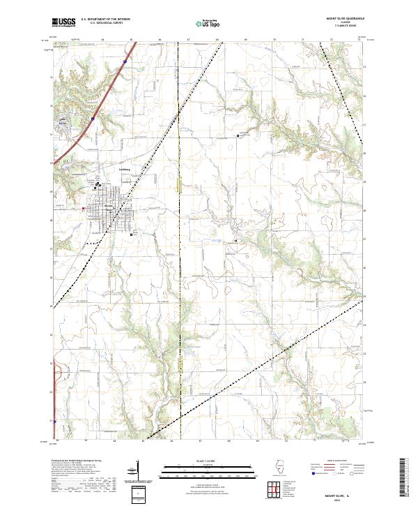
Mount Olive serves as the central hub of this South Central Illinois survey, where the town's dense grid of streets like Main ST and Poplar ST meets a landscape defined by water management and transit history. The town is flanked by numerous local burying grounds including City Cem, Trinity Cem, and Griswold Cem, providing significant points of interest for genealogical research. To the north, Sugar Cr and the Old Mount Olive Reservoir indicate the local infrastructure, while Lake Ka-Ho serves as a prominent water feature near the township line.
Find a feature on this map
44 named features on this map. Tap any name to fly to it.
Don’t see what you’re looking for? This feature index may not catch every label — zoom into the map to look around manually.
Map Details
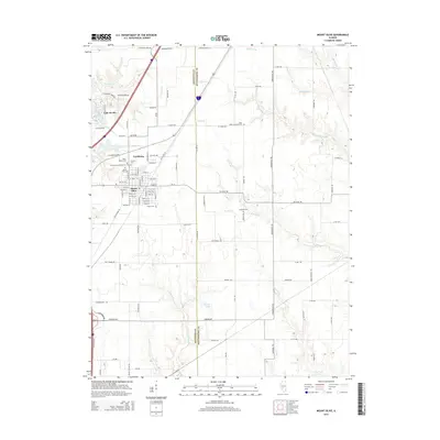
Editions of this 1998 Mount Olive Map
This is the sole edition of this map. No revisions or reprints were ever made.
Historical Maps of Staunton Through Time
9 maps found
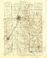
1915 Mount Olive
Macoupin County, IL
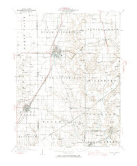
1944 Mount Olive
Macoupin County, IL
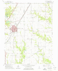
1974 Mount Olive
Macoupin County, IL
1998 Mount Olive
Macoupin County, IL
2012 Mount Olive
Macoupin County, IL
2015 Mount Olive
Macoupin County, IL
2018 Mount Olive
Macoupin County, IL
2021 Mount Olive
Macoupin County, IL
2024 Mount Olive
Macoupin County, IL