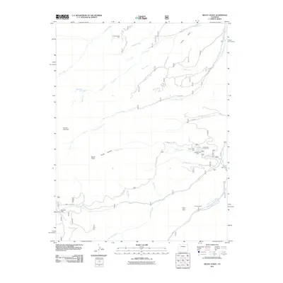
2011 Map of Mount Ouray
USGS Topo · Published 2011About this map
Mount Ouray and Chipeta Mountain define the high-altitude topography of this Chaffee County landscape as it appeared in the early 21st century. The map centers on the Continental Divide, showcasing the complex drainage patterns where Pass Creek and Little Cochetopa Creek flow from the heights. Evidence of historical and active mining is scattered across the slopes, from the Cinderella South Mine in the north to the Valley View Mine and Borita Group Mine near the southern boundary.
Find a feature on this map
38 named features on this map. Tap any name to fly to it.
Don’t see what you’re looking for? This feature index may not catch every label — zoom into the map to look around manually.
Map Details
Editions of this 2011 Mount Ouray Map
This is the sole edition of this map. No revisions or reprints were ever made.
Other maps of this area

1940 · Garfield
USGS Topo · 1:62,500

1945 · Garfield
USGS Topo · 1:62,500

1956 · Poncha Springs
USGS Topo · 1:62,500

1956 · Montrose
USGS Topo · 1:250,000

1959 · Montrose
USGS Topo · 1:250,000

1959 · Bonanza
USGS Topo · 1:62,500

1960 · Montrose
USGS Topo · 1:250,000

1967 · Chester
USGS Topo · 1:24,000

1967 · Pahlone Peak
USGS Topo · 1:24,000

1968 · Montrose
USGS Topo · 1:250,000