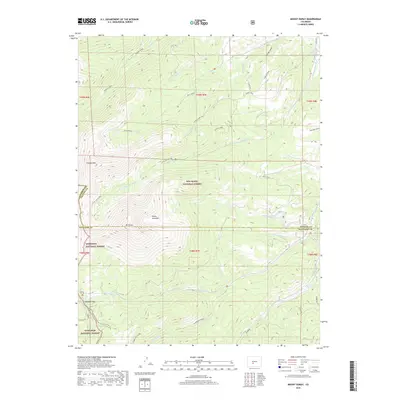
2019 Map of Mount Ouray
USGS Topo · Published 2019About this map
Mt Ouray anchors this high-elevation landscape where the boundaries of Chaffee, Saguache, and Gunnison counties converge. The rugged topography is defined by the Continental Divide National Scenic Trail, which traverses the western edge of the map, passing through Marshall Pass and along the Monarch Crest. This area is a significant hydrological divide, with headwaters including Greens Creek flowing north and Poncha Cr winding through the southern drainage.
Find a feature on this map
48 named features on this map. Tap any name to fly to it.
Don’t see what you’re looking for? This feature index may not catch every label — zoom into the map to look around manually.
Map Details
Editions of this 2019 Mount Ouray Map
This is the sole edition of this map. No revisions or reprints were ever made.
Other maps of this area

1940 · Garfield
USGS Topo · 1:62,500

1945 · Garfield
USGS Topo · 1:62,500

1956 · Poncha Springs
USGS Topo · 1:62,500

1956 · Montrose
USGS Topo · 1:250,000

1959 · Montrose
USGS Topo · 1:250,000

1959 · Bonanza
USGS Topo · 1:62,500

1960 · Montrose
USGS Topo · 1:250,000

1967 · Chester
USGS Topo · 1:24,000

1967 · Pahlone Peak
USGS Topo · 1:24,000

1968 · Montrose
USGS Topo · 1:250,000