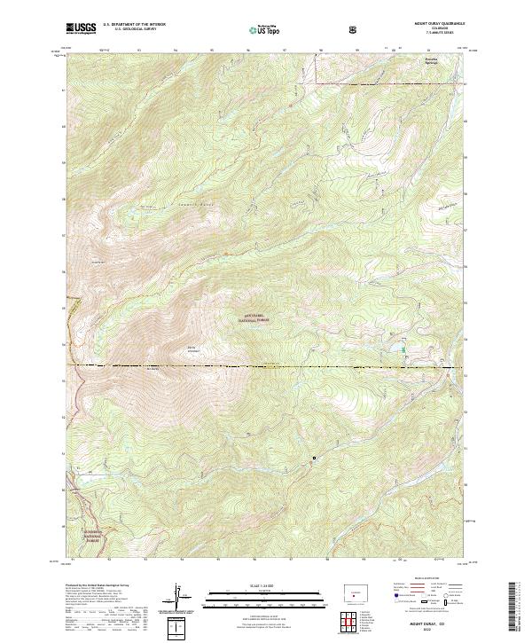
2022 Map of Mount Ouray
USGS Topo · Published 2022About this map
Mt Ouray dominates the southern reaches of the Sawatch Range in this modern survey of the high mountain divide between Chaffee, Saguache, and Gunnison counties. The terrain is characterized by steep glacial cirques and alpine ridges, notably the Devils Armchair and Chipeta Ridge. Water from these heights drains through a complex network of creeks like Poncha Cr and Little Cochetopa Cr, eventually feeding basins such as O'Haver Lake and the high-altitude Silver Cr Lakes.
Find a feature on this map
47 named features on this map. Tap any name to fly to it.
Don’t see what you’re looking for? This feature index may not catch every label — zoom into the map to look around manually.
Map Details
Editions of this 2022 Mount Ouray Map
This is the sole edition of this map. No revisions or reprints were ever made.
Other maps of this area

1940 · Garfield
USGS Topo · 1:62,500

1945 · Garfield
USGS Topo · 1:62,500

1956 · Poncha Springs
USGS Topo · 1:62,500

1956 · Montrose
USGS Topo · 1:250,000

1959 · Montrose
USGS Topo · 1:250,000

1959 · Bonanza
USGS Topo · 1:62,500

1960 · Montrose
USGS Topo · 1:250,000

1967 · Chester
USGS Topo · 1:24,000

1967 · Pahlone Peak
USGS Topo · 1:24,000

1968 · Montrose
USGS Topo · 1:250,000