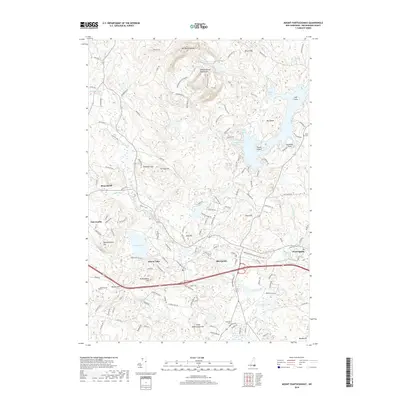
2018 Map of Mount Pawtuckaway
USGS Topo · Published 2018About this map
Mt Pawtuckaway and the surrounding Pawtuckaway Mountains dominate the northern landscape of this Rockingham County corridor, where the Pawtuckaway Reservation preserves a network of paths like the Middle Mountain Trail and Shaw Trail. To the south, the settlement of Raymond serves as a central hub, situated near the confluence of the Lamprey River and the Rockingham Recreational Rail Trail. This former rail corridor signifies the area's transition from an industrial transport artery to a modern recreational landscape.
Find a feature on this map
141 named features on this map. Tap any name to fly to it.
Don’t see what you’re looking for? This feature index may not catch every label — zoom into the map to look around manually.
Map Details
Editions of this 2018 Mount Pawtuckaway Map
This is the sole edition of this map. No revisions or reprints were ever made.
Other maps of this area

1888 · Haverhill
USGS Topo · 1:62,500

1890 · Haverhill
USGS Topo · 1:62,500

1893 · Haverhill
USGS Topo · 1:62,500

1905 · Manchester
USGS Topo · 1:62,500

1917 · Mt. Pawtuckaway
USGS Topo · 1:62,500

1919 · Mt. Pawtuckaway
USGS Topo · 1:62,500

1921 · Suncook
USGS Topo · 1:62,500

1935 · Haverhill
USGS Topo · 1:62,500

1939 · Mt. Pawtuckaway
USGS Topo · 1:62,500

1941 · Manchester
USGS Topo · 1:62,500