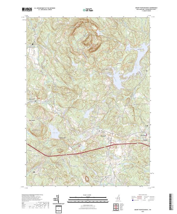
2024 Map of Mount Pawtuckaway
USGS Topo · Published 2024About this map
Pawtuckaway Reservation dominates the northern terrain of this quadrangle, encompassing the Pawtuckaway Mountains and peaks like Mt Pawtuckaway and Tavern Hill. This modern landscape preserves a rugged interior surrounded by evolving communities in Rockingham County. The corridor along the Lamprey River and the Lamprey Wild and Scenic River designation highlights the area's transition from a mill-driven economy to one focused on conservation and recreation.
Find a feature on this map
143 named features on this map. Tap any name to fly to it.
Don’t see what you’re looking for? This feature index may not catch every label — zoom into the map to look around manually.
Map Details
Editions of this 2024 Mount Pawtuckaway Map
This is the sole edition of this map. No revisions or reprints were ever made.
Other maps of this area

1888 · Haverhill
USGS Topo · 1:62,500

1890 · Haverhill
USGS Topo · 1:62,500

1893 · Haverhill
USGS Topo · 1:62,500

1905 · Manchester
USGS Topo · 1:62,500

1917 · Mt. Pawtuckaway
USGS Topo · 1:62,500

1919 · Mt. Pawtuckaway
USGS Topo · 1:62,500

1921 · Suncook
USGS Topo · 1:62,500

1935 · Haverhill
USGS Topo · 1:62,500

1939 · Mt. Pawtuckaway
USGS Topo · 1:62,500

1941 · Manchester
USGS Topo · 1:62,500