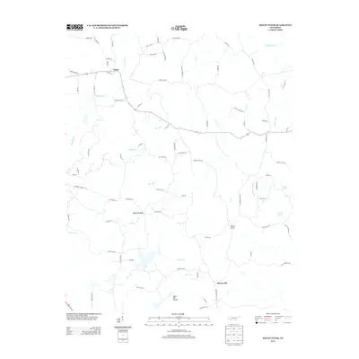
2013 Map of Mount Peter
USGS Topo · Published 2013About this map
Finger and the crossroads of Forty Forks anchor this portion of McNairy County, where the Tennessee landscape is defined by a dense network of creek drainages and rural farm-to-market roads. The terrain is deeply incised by waters such as Huggins Cr and Tacker Cr, which converge near Major Hill Hollow in the southern reaches of the quadrangle. The map reveals a high concentration of family-named lanes and roads, such as Chambers Chapel Ln and Rose Hill RD, indicating a long-established pattern of local land ownership and small-scale agriculture. Natural water sources like Sulphur Spring and Hodges Spring remain key landmarks in a landscape that transitions between the high ground of Mount Peter and the low-lying reaches of Hogwallow Cr.
Find a feature on this map
84 named features on this map. Tap any name to fly to it.
Don’t see what you’re looking for? This feature index may not catch every label — zoom into the map to look around manually.
Map Details
Editions of this 2013 Mount Peter Map
This is the sole edition of this map. No revisions or reprints were ever made.
Other maps of this area

1936 · Leapwood
USGS Topo · 1:24,000

1936 · Enville
USGS Topo · 1:24,000

1936 · Purdy
USGS Topo · 1:24,000

1936 · Stantonville
USGS Topo · 1:24,000

1936 · Mt. Peter
USGS Topo · 1:24,000

1949 · Leapwood
USGS Topo · 1:24,000

1949 · Mt. Peter
USGS Topo · 1:24,000

1949 · Purdy
USGS Topo · 1:24,000

1949 · Stantonville
USGS Topo · 1:24,000

1950 · Enville
USGS Topo · 1:24,000