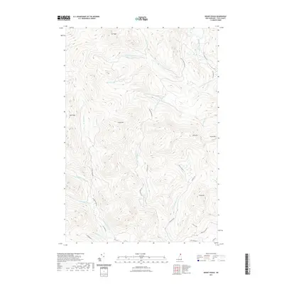
2021 Map of Mount Pisgah
USGS Topo · Published 2021About this map
Mt Pisgah and the surrounding high peaks of Coos County define this northern New Hampshire landscape. This recent survey documents a complex network of waterways that feed the region, including the Dead Diamond River and its major tributaries like the Little Dead Diamond River and the W Br Little Dead Diamond River. The terrain is characterized by prominent elevations such as Crystal Mtn, Mt Tucker, and Chase Mtn, which overlook a series of deep valleys.
Find a feature on this map
32 named features on this map. Tap any name to fly to it.
Don’t see what you’re looking for? This feature index may not catch every label — zoom into the map to look around manually.
Map Details
Editions of this 2021 Mount Pisgah Map
This is the sole edition of this map. No revisions or reprints were ever made.
Other maps of this area

1925 · Indian Stream
USGS Topo · 1:48,000

1926 · Indian Stream
USGS Topo · 1:62,500

1927 · Indian Stream
USGS Topo · 1:62,500

1927 · Second Lake
USGS Topo · 1:62,500

1930 · Dixville
USGS Topo · 1:62,500

1930 · Errol
USGS Topo · 1:62,500

1932 · Second Lake
USGS Topo · 1:62,500

1933 · Dixville
USGS Topo · 1:62,500

1934 · Dixville
USGS Topo · 1:62,500

1934 · Errol
USGS Topo · 1:62,500
Featured Places
- Clarksville, NH
- Dixville, NH
- Second College Grant, NH
- Dix's Grant, NH
- Atkinson and Gilmanton Academy Grant, NH