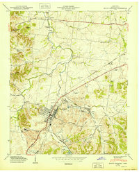
1950 Map of Mount Pleasant
USGS Topo · Published 1950About this map
Mount Pleasant serves as the industrial and social anchor of this mid-century survey, situated in a landscape heavily defined by phosphate production. Extensive Strip Mines and numerous Tailings Ponds encircle the town, particularly around Tennessee Hill and the southern reaches near Arrow Lake. The influence of industrial housing and local labor is evident in the presence of distinct settlements like Red Row and Frierson Town, alongside well-established family and community burial grounds such as Arlington Cem, Lawrence Cem, and Hunter Cem.
Find a feature on this map
63 named features on this map. Tap any name to fly to it.
Don’t see what you’re looking for? This feature index may not catch every label — zoom into the map to look around manually.
Map Details
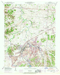
Editions of this 1950 Mount Pleasant Map
2 editions found
Other maps of this area

1901 · Colombia
USGS Topo · 1:125,000

1936 · Godwin
USGS Topo · 1:24,000

1936 · Sandy Hook
USGS Topo · 1:24,000

1936 · Williamsport
USGS Topo · 1:24,000

1936 · Mt Joy
USGS Topo · 1:24,000

1936 · Crestview
USGS Topo · 1:24,000

1936 · Greenfield Bend
USGS Topo · 1:24,000

1936 · Mount Pleasant
USGS Topo · 1:24,000

1936 · Columbia
USGS Topo · 1:24,000

1936 · Lynnville
USGS Topo · 1:24,000