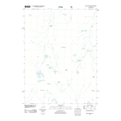
2011 Map of Mount Powell
USGS Topo · Published 2011About this map
Mount Powell and the high alpine terrain of the Uinta Mountains define this 2011 survey, centered on the drainage basins and passes that connect the northern and southern slopes of the range. The landscape is characterized by a dense concentration of glacial lakes and high meadows, including Broadbent Meadow and the sprawling Flat Top Mountain. This area represents a critical high-altitude corridor for backcountry travel, where established routes move through Smiths Fork Pass and Anderson Pass.
Find a feature on this map
32 named features on this map. Tap any name to fly to it.
Don’t see what you’re looking for? This feature index may not catch every label — zoom into the map to look around manually.
Map Details
Editions of this 2011 Mount Powell Map
This is the sole edition of this map. No revisions or reprints were ever made.
Other maps of this area
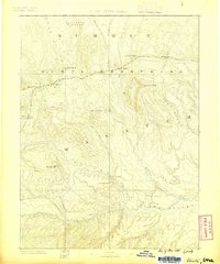
1885 · Uinta
USGS Topo · 1:250,000
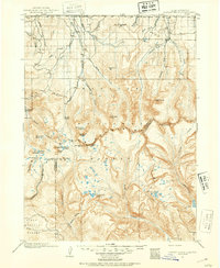
1901 · Hayden Peak
USGS Topo · 1:125,000
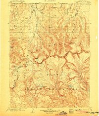
1903 · Hayden Peak
USGS Topo · 1:125,000
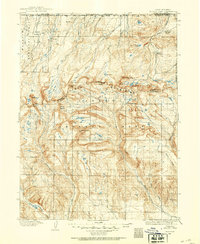
1905 · Gilbert Peak
USGS Topo · 1:125,000
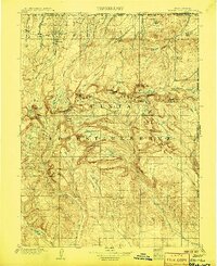
1906 · Gilbert Peak
USGS Topo · 1:125,000
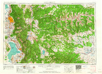
1954 · Salt Lake City
USGS Topo · 1:250,000
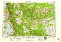
1958 · Salt Lake City
USGS Topo · 1:250,000
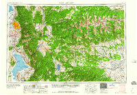
1960 · Salt Lake City
USGS Topo · 1:250,000
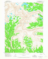
1965 · Mount Emmons
USGS Topo · 1:24,000
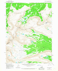
1965 · Kings Peak
USGS Topo · 1:24,000