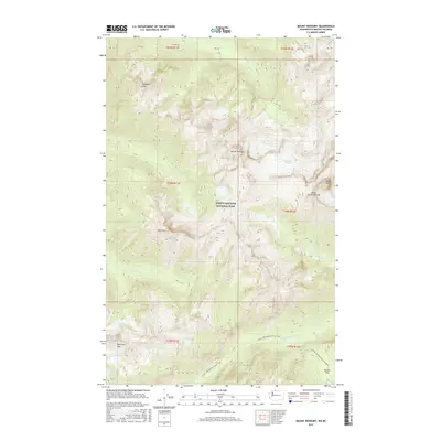
2017 Map of Mount Redoubt
USGS Topo · Published 2017About this map
Mount Redoubt and the surrounding high-altitude terrain of the North Cascades National Park dominate this survey, located along the remote international border between Washington and British Columbia. The landscape is defined by extreme glacial and hydrologic features, including the Redoubt Glacier and high-elevation basins such as Bear Lake and Lake Reveille. A network of creeks, including Depot Cr and Redoubt Cr, drain these summits into lower valleys. The presence of the Pacific NW National Scenic Trail crossing through Beaver Pass highlights the traditional routes used to navigate this formidable section of the Cascades. For researchers, the map provides precise locations for named summits like Nodoubt Peak, Bear Mtn, and the Mox Peaks, as well as distinctive formations like the Ridge of Gendarmes, reflecting the region's complex geology and late-twentieth-century recreational infrastructure.
Find a feature on this map
29 named features on this map. Tap any name to fly to it.
Don’t see what you’re looking for? This feature index may not catch every label — zoom into the map to look around manually.
Map Details
Editions of this 2017 Mount Redoubt Map
This is the sole edition of this map. No revisions or reprints were ever made.
Other maps of this area
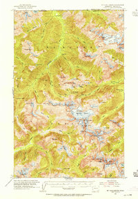
1953 · Mt Challenger
USGS Topo · 1:62,500

1955 · Concrete
USGS Topo · 1:250,000

1958 · Concrete
USGS Topo · 1:250,000

1962 · Concrete
USGS Topo · 1:250,000
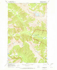
1969 · Mt Prophet
USGS Topo · 1:24,000
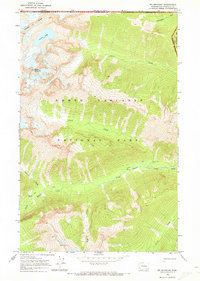
1969 · Mt Spickard
USGS Topo · 1:24,000
1979 · Mt. Baker
USGS Topo · 1:100,000
1989 · Copper Mountain
USGS Topo · 1:24,000
1989 · Mount Blum
USGS Topo · 1:24,000
1989 · Mt Challenger
USGS Topo · 1:24,000