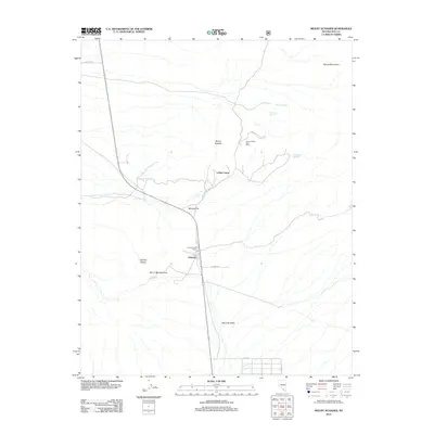
2012 Map of Mount Schader
USGS Topo · Published 2012About this map
Johnnie serves as the focal point of this Nevada desert landscape, where the legacy of early 20th-century mining persists through surviving infrastructure. The presence of both the Johnnie Post Office and the Johnnie Mine Post Office to the north suggests a community once divided between the residential settlement and the active mining works at the foot of Mount Schader. Further north, Labbe Camp remains situated along the slopes, connected by a network of primitive roads including the evocatively named Butch Cassidy Pass.
Find a feature on this map
18 named features on this map. Tap any name to fly to it.
Don’t see what you’re looking for? This feature index may not catch every label — zoom into the map to look around manually.
Map Details
Editions of this 2012 Mount Schader Map
This is the sole edition of this map. No revisions or reprints were ever made.
Other maps of this area
1907 · Las Vegas
USGS Topo · 1:250,000
1908 · Furnace Creek
USGS Topo · 1:250,000
1908 · Las Vegas
USGS Topo · 1:250,000
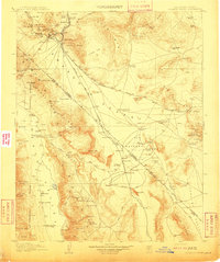
1910 · Furnace Creek
USGS Topo · 1:250,000
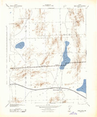
1942 · Indian Spring
USGS Topo · 1:125,000
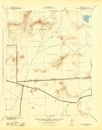
1942 · Skull Mountain
USGS Topo · 1:125,000
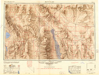
1948 · Death Valley
USGS Topo · 1:250,000
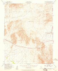
1952 · Specter Range
USGS Topo · 1:62,500
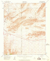
1952 · Mercury
USGS Topo · 1:62,500
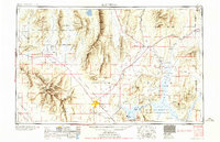
1954 · Las Vegas
USGS Topo · 1:250,000