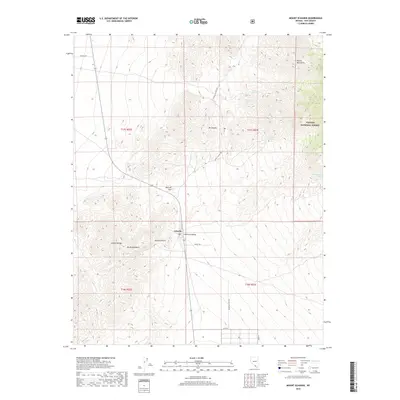
2018 Map of Mount Schader
USGS Topo · Published 2018About this map
The settlement of Johnnie sits at the edge of the Pahrump Valley, serving as a central point in this high-desert landscape within the Mojave Desert. The topography is defined by the sharp elevations of the Johnnie Range and the Spring Mountains, which rise toward the northeast corner of the quadrangle. Significant landmarks include Mt Schader and Mt Montgomery, providing a sense of the vertical relief that historically challenged travelers in this part of Nye County.
Find a feature on this map
23 named features on this map. Tap any name to fly to it.
Don’t see what you’re looking for? This feature index may not catch every label — zoom into the map to look around manually.
Map Details
Editions of this 2018 Mount Schader Map
This is the sole edition of this map. No revisions or reprints were ever made.
Other maps of this area
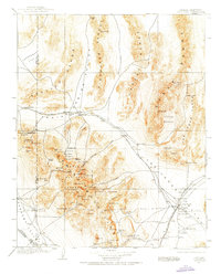
1907 · Las Vegas
USGS Topo · 1:250,000
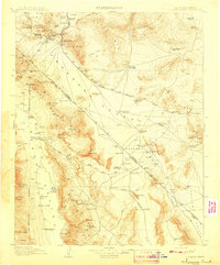
1908 · Furnace Creek
USGS Topo · 1:250,000
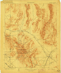
1908 · Las Vegas
USGS Topo · 1:250,000
1910 · Furnace Creek
USGS Topo · 1:250,000
1942 · Indian Spring
USGS Topo · 1:125,000
1942 · Skull Mountain
USGS Topo · 1:125,000
1948 · Death Valley
USGS Topo · 1:250,000
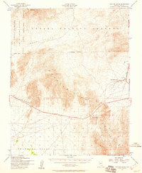
1952 · Specter Range
USGS Topo · 1:62,500
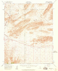
1952 · Mercury
USGS Topo · 1:62,500
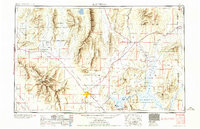
1954 · Las Vegas
USGS Topo · 1:250,000