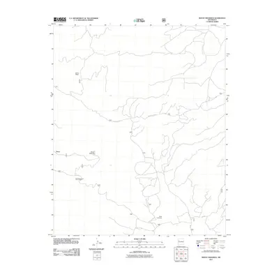
2011 Map of Mount Sedgwick
USGS Topo · Published 2011About this map
Mount Sedgwick stands as the central high point of this high-altitude landscape in the Zuni Mountains, a region defined by complex drainage patterns and forest management. The presence of the Diener settlement area reflects the human footprint in an otherwise remote terrain dominated by geological features like Salitre Mesa and Cerro Colorado. Water sources such as Ojo Redondo and its associated Ojo Redondo Camp Picnic Grounds highlight the area's importance for forestry and recreational access. A intricate network of access paths, including Forest Svc 180 Rd and Forest Rd 425, weaves through the timberland, serving as the primary infrastructure for those managing or exploring the National Forest land during this period.
Find a feature on this map
10 named features on this map. Tap any name to fly to it.
Don’t see what you’re looking for? This feature index may not catch every label — zoom into the map to look around manually.
Map Details
Editions of this 2011 Mount Sedgwick Map
This is the sole edition of this map. No revisions or reprints were ever made.
Other maps of this area
1883 · Mt. Taylor
USGS Topo · 1:250,000
1886 · Wingate
USGS Topo · 1:250,000
1886 · Mt. Taylor
USGS Topo · 1:250,000
1892 · Wingate
USGS Topo · 1:250,000
1892 · Mt. Taylor
USGS Topo · 1:250,000
1899 · Mt. Taylor
USGS Topo · 1:250,000
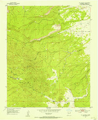
1951 · Mt Sedgwick
USGS Topo · 1:24,000
1952 · Valle Largo
USGS Topo · 1:24,000
1952 · Post Office Flat
USGS Topo · 1:24,000
1952 · Paxton Springs
USGS Topo · 1:24,000