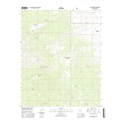
2017 Map of Mount Sedgwick
USGS Topo · Published 2017About this map
Mount Sedgwick stands as the central landmark of this high-elevation landscape within the Cibola National Forest. The map documents a complex drainage system defined by numerous deep cuts, including Wild Horse Canyon, Diener Canyon, and Limekiln Canyon, which radiate from the central uplands toward the lower elevations. The northeastern corner shows the concentrated settlement of Bluewater Village, providing a sharp contrast between the organized township boundaries and the sprawling forest interior. Forest access is detailed through several service routes, such as Forest Svc 480 Rd and Forest Svc 425 Rd, which navigate the varying elevations near Salitre Mesa. Local water sources like Ojo Redondo serve as critical points of interest for those studying the land use and topography of this part of Cibola County.
Find a feature on this map
25 named features on this map. Tap any name to fly to it.
Don’t see what you’re looking for? This feature index may not catch every label — zoom into the map to look around manually.
Map Details
Editions of this 2017 Mount Sedgwick Map
This is the sole edition of this map. No revisions or reprints were ever made.
Other maps of this area
1883 · Mt. Taylor
USGS Topo · 1:250,000
1886 · Wingate
USGS Topo · 1:250,000
1886 · Mt. Taylor
USGS Topo · 1:250,000
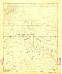
1892 · Wingate
USGS Topo · 1:250,000
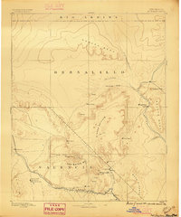
1892 · Mt. Taylor
USGS Topo · 1:250,000
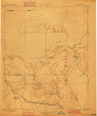
1899 · Mt. Taylor
USGS Topo · 1:250,000
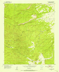
1951 · Mt Sedgwick
USGS Topo · 1:24,000
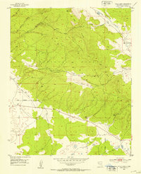
1952 · Valle Largo
USGS Topo · 1:24,000
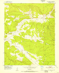
1952 · Post Office Flat
USGS Topo · 1:24,000
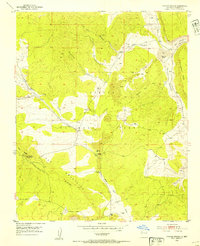
1952 · Paxton Springs
USGS Topo · 1:24,000