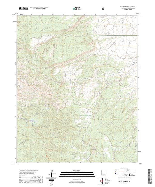
2023 Map of Mount Sedgwick
USGS Topo · Published 2023About this map
Mt Sedgwick stands as the centerpiece of this high-elevation terrain within the Cibola National Forest. The landscape is defined by a series of significant canyons and mesas, including Salitre Mesa to the north and the prominent Cerro Colorado to the south. Historically, the area is characterized by a network of forest service routes and motorized trails, such as Motorized 333 Trl and Motorized 331 Trl, which navigate the steep drainage systems of Wild Horse Canyon and Limekiln Canyon. The presence of Ojo Redondo suggests a vital water source in this arid environment, likely serving as a landmark for early travelers and forest management. This 2023 survey by the U.S. Geological Survey illustrates a modern view of the land's topographical complexity, showing the intersection of remote forestry roads like Forest Svc 180 Rd and the township and range divisions that still govern the region.
Find a feature on this map
28 named features on this map. Tap any name to fly to it.
Don’t see what you’re looking for? This feature index may not catch every label — zoom into the map to look around manually.
Map Details
Editions of this 2023 Mount Sedgwick Map
This is the sole edition of this map. No revisions or reprints were ever made.
Other maps of this area

1883 · Mt. Taylor
USGS Topo · 1:250,000

1886 · Wingate
USGS Topo · 1:250,000

1886 · Mt. Taylor
USGS Topo · 1:250,000

1892 · Wingate
USGS Topo · 1:250,000

1892 · Mt. Taylor
USGS Topo · 1:250,000

1899 · Mt. Taylor
USGS Topo · 1:250,000

1951 · Mt Sedgwick
USGS Topo · 1:24,000

1952 · Valle Largo
USGS Topo · 1:24,000

1952 · Post Office Flat
USGS Topo · 1:24,000

1952 · Paxton Springs
USGS Topo · 1:24,000