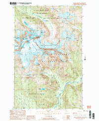
1989 Map of Mount Shuksan
USGS Topo · Published 1989About this map
Mt Shuksan serves as the focal point of this high-altitude landscape in the North Cascades during the late 1980s. The map illustrates a complex glacial system where the East Nooksack Glacier, Sulphide Glacier, and Crystal Glacier radiate from the central mass. These ice fields feed a network of high-elevation water bodies and drainages, including Price Lake and Shuksan Lake, which eventually flow into the North Fork Nooksack River and the Baker River.
Find a feature on this map
41 named features on this map. Tap any name to fly to it.
Don’t see what you’re looking for? This feature index may not catch every label — zoom into the map to look around manually.
Map Details
Editions of this 1989 Mount Shuksan Map
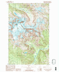
2 editions found
Other maps of this area

1909 · Mt Baker
USGS Topo · 1:192,000

1915 · Mt. Baker
USGS Topo · 1:250,000

1952 · Lake Shannon
USGS Topo · 1:62,500

1953 · Mt Shuksan
USGS Topo · 1:62,500

1953 · Marblemount
USGS Topo · 1:62,500

1953 · Mt Challenger
USGS Topo · 1:62,500

1955 · Concrete
USGS Topo · 1:250,000

1958 · Concrete
USGS Topo · 1:250,000

1962 · Concrete
USGS Topo · 1:250,000

1979 · Mt. Baker
USGS Topo · 1:100,000