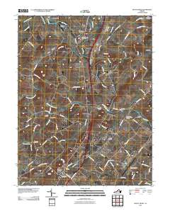
2010 Map of Mount Sidney
USGS Topo · Published 2010About this map
The North River meanders through this landscape, defining the agricultural and transit corridors of the central Shenandoah Valley. Major transportation hubs anchor the terrain, from the Shenandoah Valley Regional Airport in the south to the Bridgewater Air Park and Mapp Field further north. Historical settlements such as Mount Sidney, Mount Crawford, and Weyers Cave line the primary north-south arteries, preserving the character of these long-established Virginia communities. Numerous family and community burial grounds, including Bells Cemetery and the Melanchthon Lutheran Chapel Cemetery, are scattered across the rolling country, providing significant points of interest for genealogical research. The waterway network of Naked Creek, Cooks Creek, and Broad Run underscores the region's historical reliance on these drainages for early industry and milling, as evidenced by local routes like Knightly Mill Rd and Burkes Mill Rd.
Find a feature on this map
81 named features on this map. Tap any name to fly to it.
Don’t see what you’re looking for? This feature index may not catch every label — zoom into the map to look around manually.
Map Details
Editions of this 2010 Mount Sidney Map
This is the sole edition of this map. No revisions or reprints were ever made.
Other maps of this area

1892 · Harrisonburg
USGS Topo · 1:125,000

1894 · Staunton
USGS Topo · 1:125,000

1934 · Waynesboro
USGS Topo · 1:48,000

1939 · Waynesboro
USGS Topo · 1:62,500

1941 · Harrisonburg
USGS Topo · 1:62,500

1943 · Harrisonburg
USGS Topo · 1:62,500

1944 · Parnassus
USGS Topo · 1:62,500

1944 · Staunton
USGS Topo · 1:62,500

1947 · Staunton
USGS Topo · 1:62,500

1947 · Parnassus
USGS Topo · 1:62,500