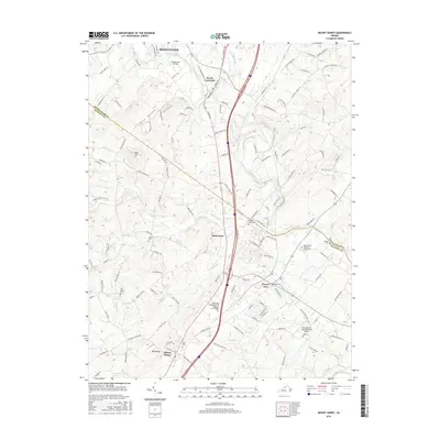
2016 Map of Mount Sidney
USGS Topo · Published 2016About this map
The North River and its numerous tributaries, including Naked Creek and Cooks Creek, carve through the Shenandoah Valley landscape between Bridgewater and Mount Sidney. This 2016 survey highlights a well-developed transportation and aviation corridor, anchored by the Shenandoah Valley Regional Airport and Bridgewater Air Park. The map documents a blend of educational institutions like the Blue Ridge Community Coll Weyers Cave Campus and deep-rooted local history found in sites like Seawright Springs and the Melanchthon Lutheran Chapel Cem.
Find a feature on this map
135 named features on this map. Tap any name to fly to it.
Don’t see what you’re looking for? This feature index may not catch every label — zoom into the map to look around manually.
Map Details
Editions of this 2016 Mount Sidney Map
This is the sole edition of this map. No revisions or reprints were ever made.
Other maps of this area

1892 · Harrisonburg
USGS Topo · 1:125,000

1894 · Staunton
USGS Topo · 1:125,000

1934 · Waynesboro
USGS Topo · 1:48,000

1939 · Waynesboro
USGS Topo · 1:62,500

1941 · Harrisonburg
USGS Topo · 1:62,500

1943 · Harrisonburg
USGS Topo · 1:62,500

1944 · Parnassus
USGS Topo · 1:62,500

1944 · Staunton
USGS Topo · 1:62,500

1947 · Staunton
USGS Topo · 1:62,500

1947 · Parnassus
USGS Topo · 1:62,500