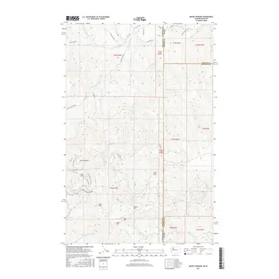
2017 Map of Mount Spokane
USGS Topo · Published 2017About this map
Mount Spokane and its surrounding peaks dominate this landscape along the border of Washington and Idaho in the late 2010s. The topography is defined by high-elevation landmarks such as Bald Knob, Shadow Mtn, and Quartz Mtn, which form a complex drainage system feeding numerous mountain creeks. The map illustrates a network of trails and access roads, including Mt Spokane Park Dr and N Summit Rd, that navigate the steep slopes toward Big Springs and Linder Ridge.
Find a feature on this map
51 named features on this map. Tap any name to fly to it.
Don’t see what you’re looking for? This feature index may not catch every label — zoom into the map to look around manually.
Map Details
Editions of this 2017 Mount Spokane Map
This is the sole edition of this map. No revisions or reprints were ever made.
Other maps of this area
1901 · Sandpoint
USGS Topo · 1:125,000
1901 · Spokane
USGS Topo · 1:125,000
1903 · Rathdrum
USGS Topo · 1:125,000
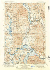
1911 · Priest Lake
USGS Topo · 1:250,000
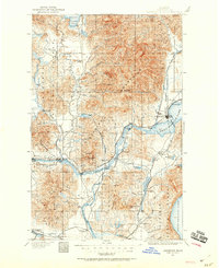
1911 · Sandpoint
USGS Topo · 1:125,000
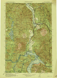
1913 · Priest Lake
USGS Topo · 1:250,000
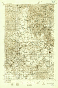
1936 · Newport
USGS Topo · 1:96,000
1942 · Newport
USGS Topo · 1:125,000
1943 · Mt Spokane
USGS Topo · 1:62,500
1950 · Mt Spokane
USGS Topo · 1:62,500