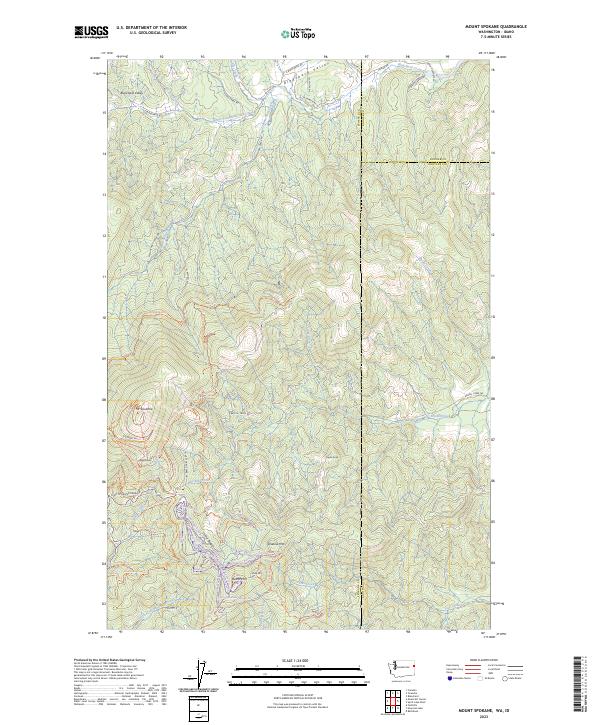
2023 Map of Mount Spokane
USGS Topo · Published 2023About this map
Mt Spokane and the surrounding high country define this section of the Selkirk Mountains at the border of Washington and Idaho. The landscape is a network of ridges and drainages, where Linder Ridge separates the waters of Brickel Creek from the southern flow of Fish Creek. To the north, Blanchard Valley provides a lower-elevation corridor shaped by Blanchard Creek and its many tributaries, including McCabe Creek. The high peaks of Quartz Mtn, Shadow Mtn, and Bald Knob are connected by a complex system of fire roads and recreational paths such as the Deadman Creek Trl and Silver Trl. This contemporary survey also preserves the precise boundary lines between Spokane, Bonner, and Kootenai counties as they intersect along these mountain divides.
Find a feature on this map
65 named features on this map. Tap any name to fly to it.
Don’t see what you’re looking for? This feature index may not catch every label — zoom into the map to look around manually.
Map Details
Editions of this 2023 Mount Spokane Map
This is the sole edition of this map. No revisions or reprints were ever made.
Other maps of this area

1901 · Sandpoint
USGS Topo · 1:125,000

1901 · Spokane
USGS Topo · 1:125,000

1903 · Rathdrum
USGS Topo · 1:125,000

1911 · Priest Lake
USGS Topo · 1:250,000

1911 · Sandpoint
USGS Topo · 1:125,000

1913 · Priest Lake
USGS Topo · 1:250,000

1936 · Newport
USGS Topo · 1:96,000

1942 · Newport
USGS Topo · 1:125,000

1943 · Mt Spokane
USGS Topo · 1:62,500

1950 · Mt Spokane
USGS Topo · 1:62,500